County Road Map Changes Spark Controversy Over Public Access
August 06, 2024 | Montezuma County, Colorado
This article was created by AI summarizing key points discussed. AI makes mistakes, so for full details and context, please refer to the video of the full meeting. Please report any errors so we can fix them. Report an error »
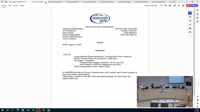
The first topic centered on a tenth-of-a-mile section of Road X, located east of Road 16. The proposal aims to revert the designation of this road from red to green on the county map, indicating a public right of way. This section has been recognized as a county road since at least 1937, and local property owners confirmed its daily use by the public. Officials noted that changing the designation to green would not obligate the county to maintain the road, as maintenance decisions rest with the road superintendent. The commissioners were asked to consider whether to proceed with the change or abandon the road's designation altogether.
The second discussion involved a road that has been depicted as a county road since 1967 but is currently fenced and used as a private driveway by a local resident, Mr. Kron. He expressed surprise at the road's historical designation and indicated that he had no issue with others using his driveway for access. The officials debated whether to leave the road as red, indicating no claim to a public right of way, or to formally abandon it to clarify its status as a private drive. The consensus leaned towards maintaining the current designation to avoid future disputes over the road's status.
Additionally, the meeting addressed issues related to bike trails and access to public lands. Officials proposed adding signage to direct visitors to the main parking lot for the aqueduct trail system, as current signage is insufficient and leads to parking in county road right-of-ways. The plan includes installing clear directional signs and private property notices to prevent trespassing.
Overall, the discussions highlighted the importance of accurately representing road designations on county maps and ensuring proper access to public lands while addressing community concerns.
Don't Miss a Word: See the Full Meeting!
Go beyond summaries. Unlock every video, transcript, and key insight with a Founder Membership.
30-day money-back guarantee
Sponsors
Proudly supported by sponsors who keep Colorado articles free in 2026

