Residents challenge outdated wildfire hazard mapping accuracy
August 14, 2024 | Sisters, Deschutes County, Oregon
This article was created by AI summarizing key points discussed. AI makes mistakes, so for full details and context, please refer to the video of the full meeting. Please report any errors so we can fix them. Report an error »

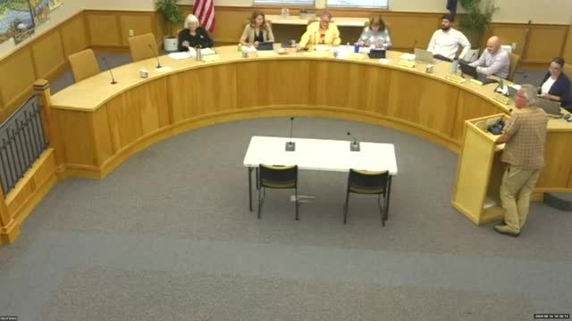
During a recent government meeting, concerns were raised regarding the accuracy of the wildfire hazard map affecting the Sisters area. A resident, who is a retired US Forest Service employee with extensive experience in forest health monitoring, highlighted inconsistencies in the mapping that have persisted since the initial risk map was released two years ago.
The resident pointed out that the current mapping relies on outdated satellite imagery, which fails to reflect recent developments in the Saddle Stone neighborhood. According to the speaker, while Google Maps provides a more accurate representation of the area, the state’s risk mapping inaccurately categorizes the region as grassland, leading to potentially misleading assessments of wildfire risk.
This discrepancy is particularly concerning as it could impact homeowners through potential ordinances related to defensible space and site hardening for new constructions. The resident emphasized the need for updated and accurate mapping to ensure that risk assessments are reflective of the actual conditions on the ground, urging local authorities to reconsider the data used in these critical evaluations.
Don't Miss a Word: See the Full Meeting!
Go beyond summaries. Unlock every video, transcript, and key insight with a Founder Membership.
✓
Get instant access to full meeting videos
✓
Search and clip any phrase from complete transcripts
✓
Receive AI-powered summaries & custom alerts
✓
Enjoy lifetime, unrestricted access to government data
30-day money-back guarantee

