Planning Board Approves Controversial Rural Development Plan
June 06, 2024 | Lexington City, Fayette County, Kentucky
This article was created by AI summarizing key points discussed. AI makes mistakes, so for full details and context, please refer to the video of the full meeting. Please report any errors so we can fix them. Report an error »
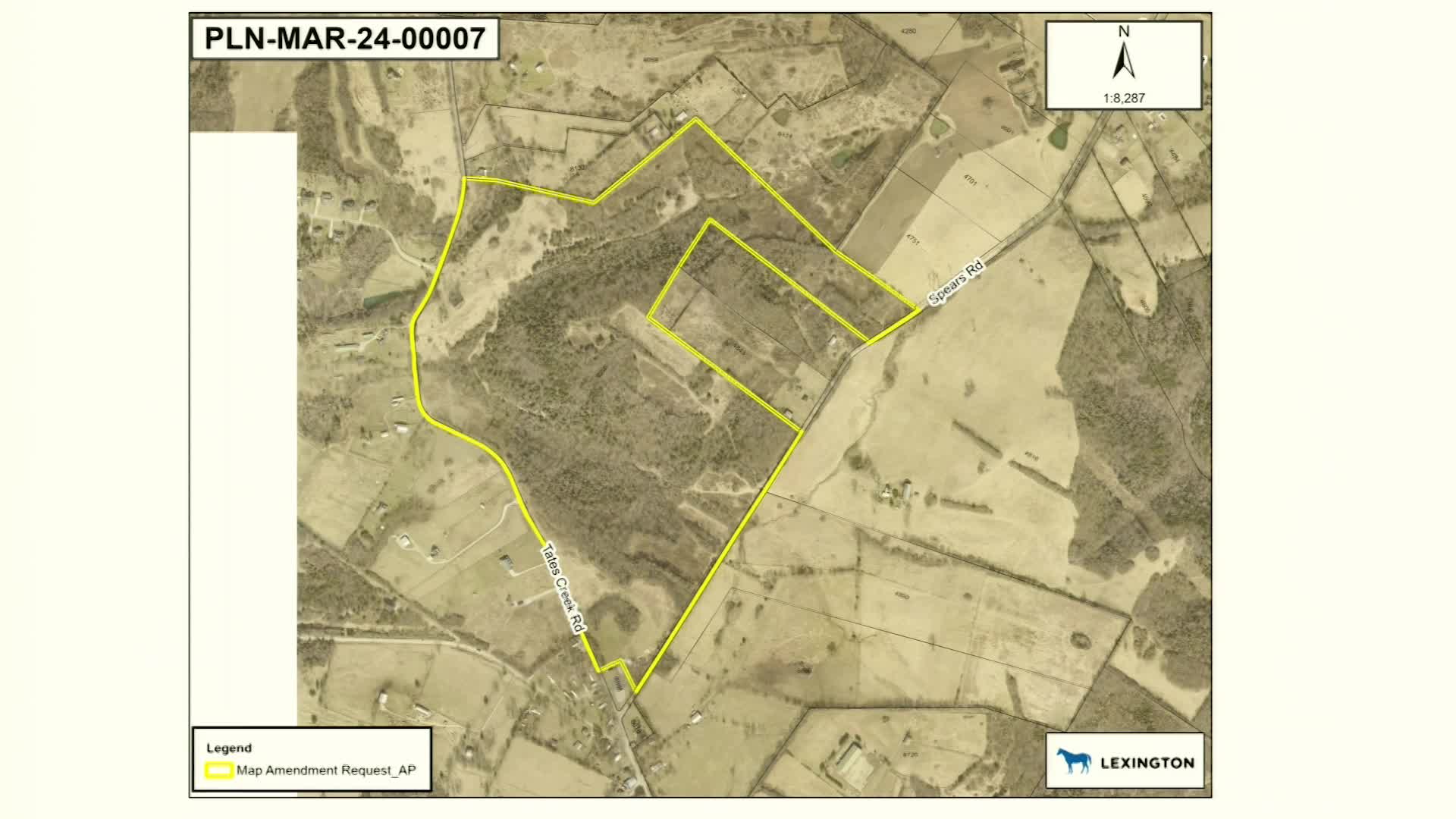
The rural land management plan recommends a buffer zone that allows for smaller residential lots, with a minimum size of 10 acres, in contrast to the typical 40-acre requirement for core agricultural land. This plan aims to accommodate existing development patterns while providing a transition between urban and rural land uses. The proposed subdivision includes 13 parcels, aligning with the existing lotting patterns in the area.
Staff members recommended approval of the subdivision, emphasizing its consistency with the comprehensive plan and the rural land management plan's intent to maintain agricultural buffers. However, some officials raised concerns about the implications of allowing smaller lot sizes in a region traditionally governed by larger agricultural parcels. They highlighted the need for a balance between residential development and agricultural preservation, suggesting that future discussions may be necessary to align the rural land management plan with broader environmental and density goals outlined in the county's comprehensive plan.
The meeting underscored the ongoing challenge of reconciling urban development needs with the preservation of rural land, as officials acknowledged the historical context of the land use designations and the potential for future revisions to better meet the county's objectives. The discussion concluded with an invitation for further questions and a call for continued dialogue on the matter.
View full meeting
This article is based on a recent meeting—watch the full video and explore the complete transcript for deeper insights into the discussion.
View full meetingSponsors
Proudly supported by sponsors who keep Kentucky articles free in 2025

