Article not found
This article is no longer available. But don't worry—we've gathered other articles that discuss the same topic.

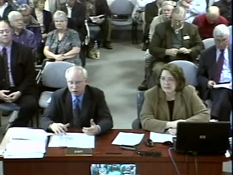
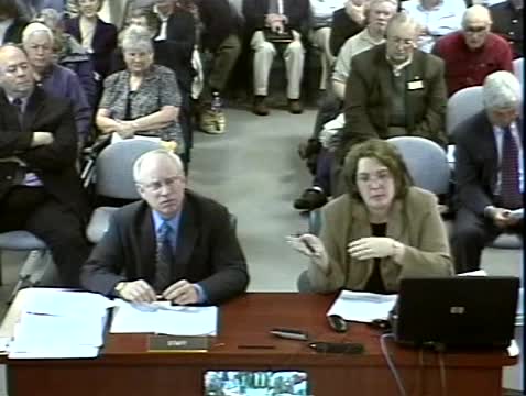
Planning commission hears Board of Education on annual growth policy, seeks direction on school-seat splits

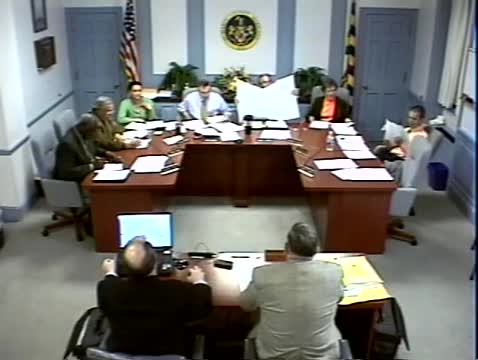
Planning Commission adopts 2007 annual report and will send it to county commissioners
Planning commission approves Glades Pine concept site plan and preliminary subdivision for phased residential build-out

Planning commission approves family conveyance allowing additional lot on private road in Hancock subdivision
Planning commission recommends adding 87 acres to Lexington Park Development District; state planning agency flags watershed sensitivity