Article not found
This article is no longer available. But don't worry—we've gathered other articles that discuss the same topic.
Votes at a glance: Orinda City Council actions, March 4, 2025
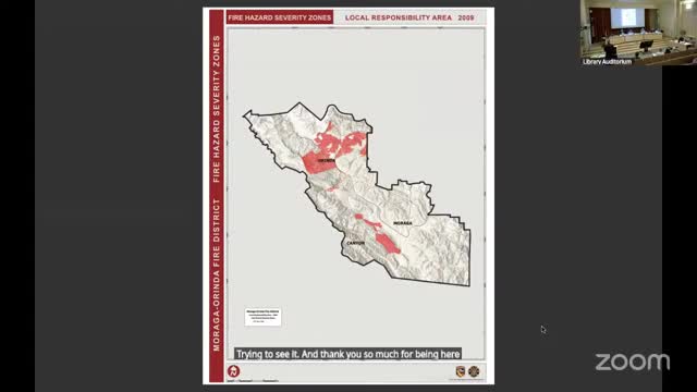
Moraga–Orinda fire chief: new state CAL FIRE maps expand some ‘very high’ zones; questions remain on methodology
Neighborhood group offers two privately funded license‑plate‑reader cameras; council agrees to consider matter at a future meeting