Article not found
This article is no longer available. But don't worry—we've gathered other articles that discuss the same topic.
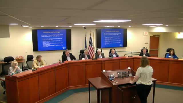
Goochland holds public hearing on proposed water/sewer and plan-review fee increases; staff says replacement and renewal planning underway
Goochland Historical Society and county unveil online historic map viewer in partnership with GIS