Article not found
This article is no longer available. But don't worry—we've gathered other articles that discuss the same topic.
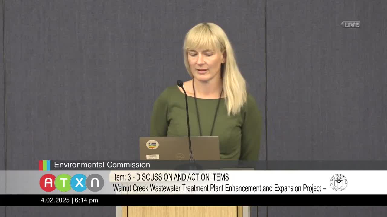
Environmental commission backs land‑code changes for Walnut Creek wastewater plant expansion with conditions
Votes at a glance: Environmental Commission minute approval, Walnut Creek recommendation, officer elections and committee assignments