Article not found
This article is no longer available. But don't worry—we've gathered other articles that discuss the same topic.
Chino Hills moves forward with $20 million 1,2,3‑TCP water treatment plant; city amends design and construction management contracts
Chino Valley Fire District outlines new Cal Fire local hazard severity maps and public comment timeline
Inland Empire Utilities Agency board to consider two-year 9% sewer rate hikes; Chino Hills residents alerted
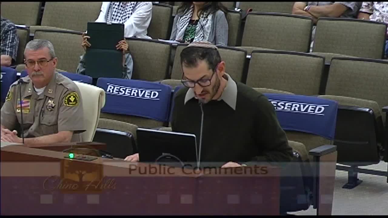
Residents use public comment to press council on divestment, free speech and immigration issues