Article not found
This article is no longer available. But don't worry—we've gathered other articles that discuss the same topic.
Council approves minutes, discusses unified infrastructure plan, funding and council participation
State water-plan manager seeks input; draft outline and basin scoping scheduled
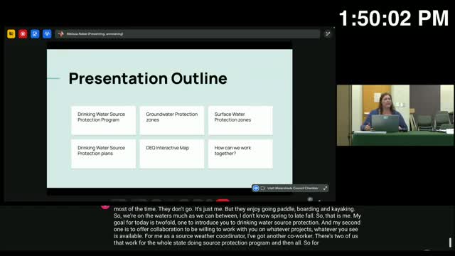
Division of Drinking Water outlines source-protection zones, plans and interactive map