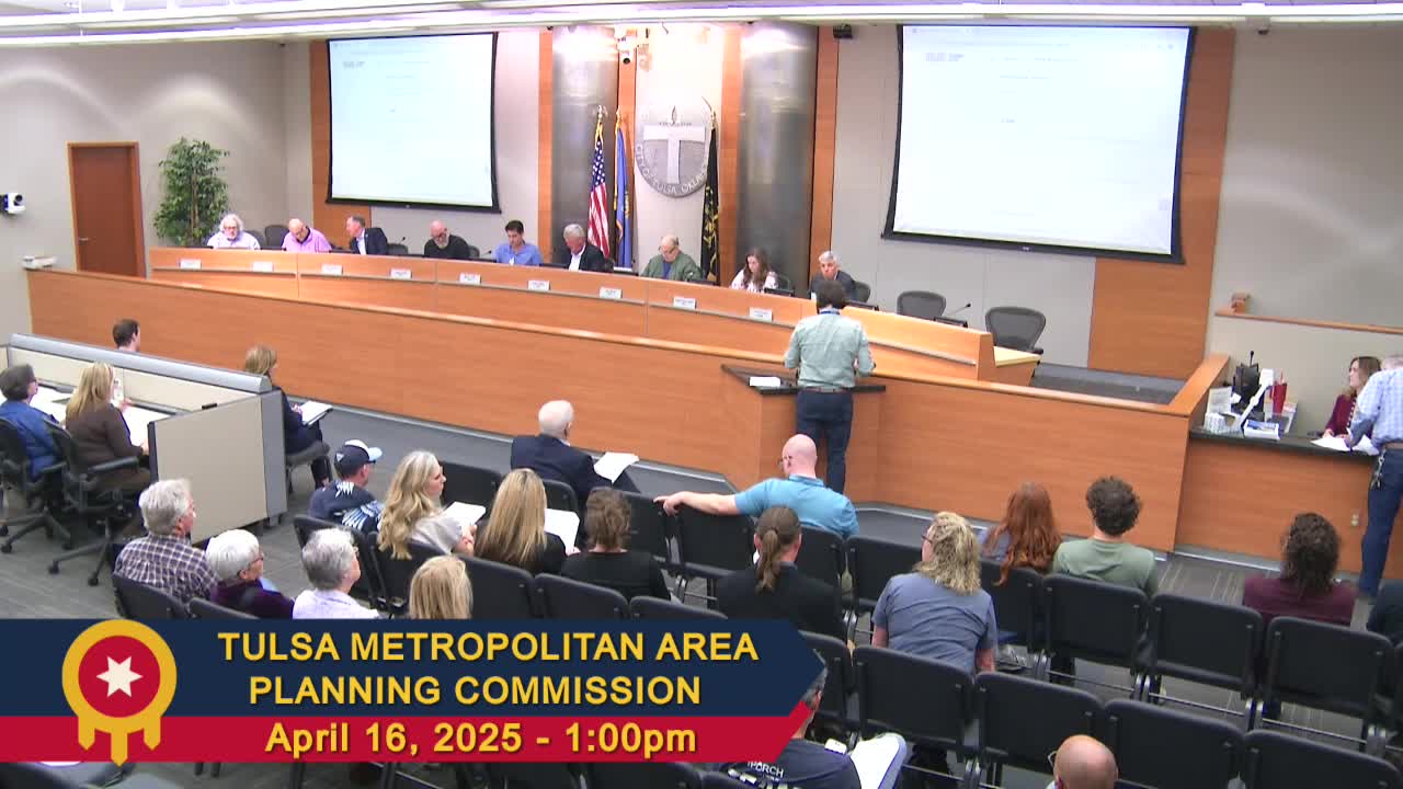
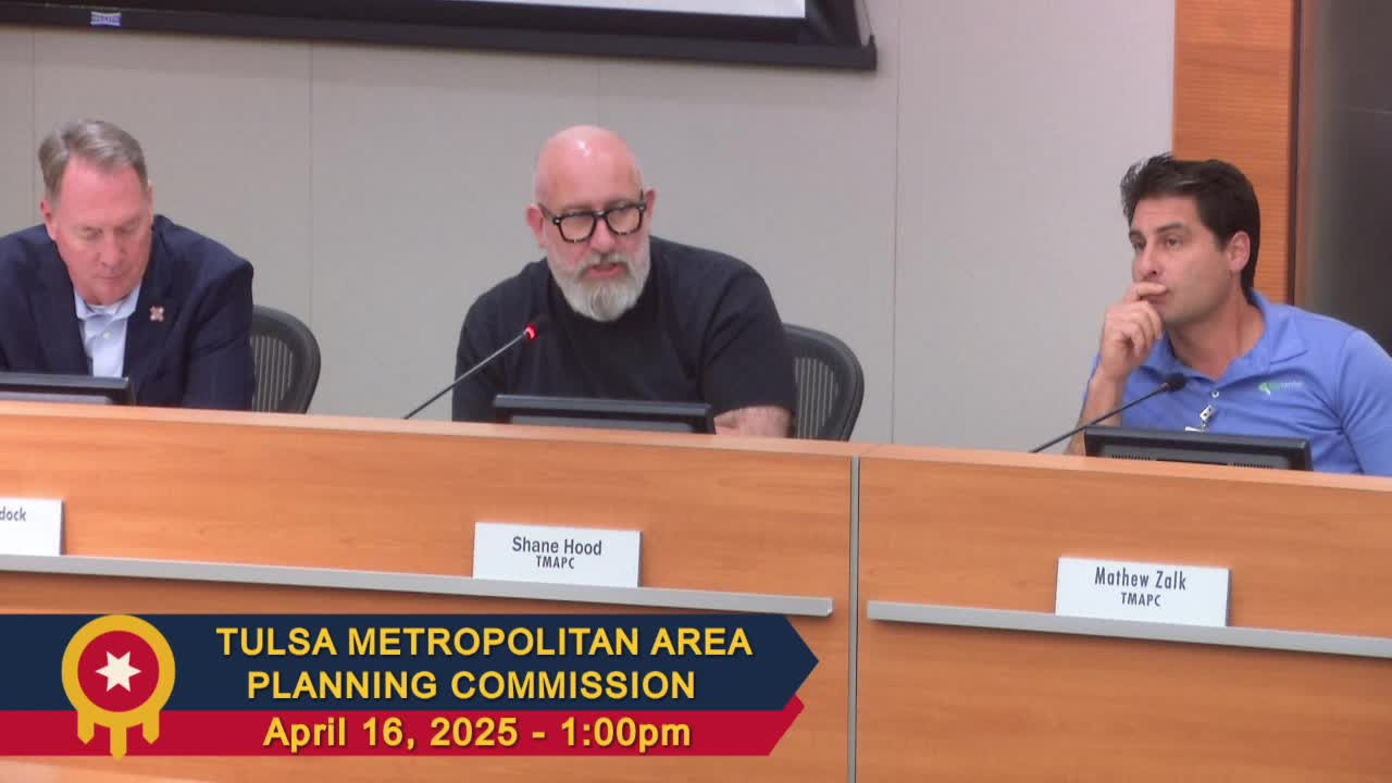
This article was created by AI using a video recording of the meeting. It summarizes the key points discussed, but for full details and context, please refer to the video of the full meeting.
Link to Full Meeting
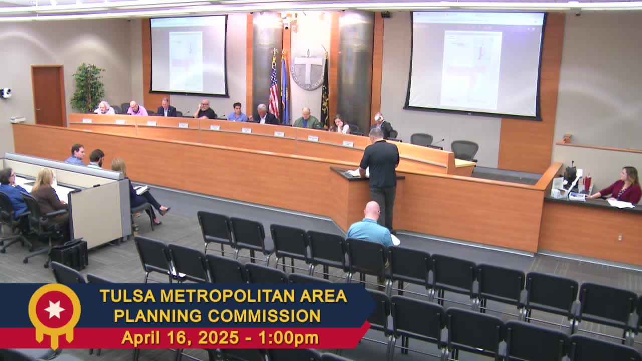
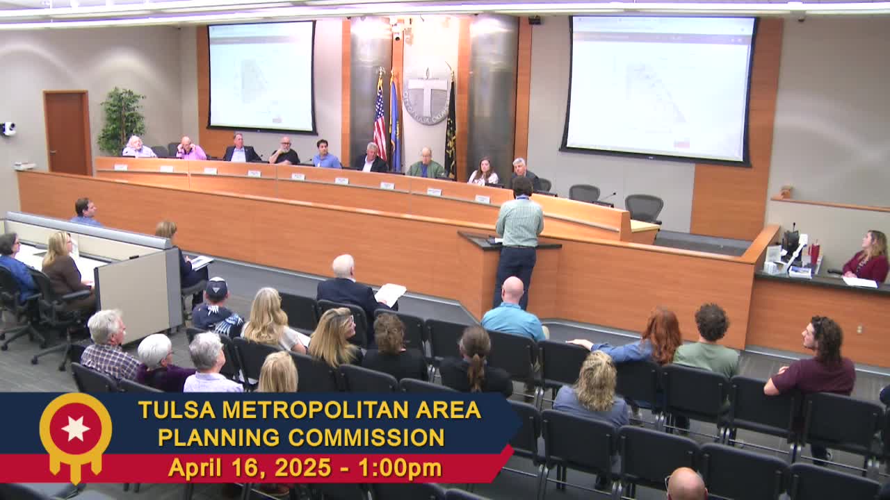
The Tulsa Metropolitan Area Planning Commission recently discussed a significant amendment to the Tulsa County comprehensive land use plan, marking the most substantial update in recent years. This plan serves as a crucial guide for decision-makers regarding land use policies in the unincorporated areas of Tulsa County.
The last update to the comprehensive plan was completed in February 2021. To maintain its relevance, the Tulsa County Planning Services Department, in collaboration with the Geographic Information Systems (GIS) and mapping teams, will provide regular updates to land use maps as development decisions evolve. This proactive approach aims to ensure that the plan reflects the changing needs and growth of the community.
Furthermore, the commission outlined a commitment to conduct comprehensive updates to the plan approximately every five years. This schedule will help keep the land use policies aligned with the community's development goals and challenges, ensuring that residents' needs are met as Tulsa County continues to grow.
This amendment is expected to have a lasting impact on the community, guiding future development and land use decisions that affect residents' daily lives. As the county moves forward, these updates will play a vital role in shaping a sustainable and well-planned environment for all.
Converted from Tulsa - Tulsa Metropolitan Area Planning Commission - Apr 16, 2025 meeting on April 16, 2025
Link to Full Meeting