Article not found
This article is no longer available. But don't worry—we've gathered other articles that discuss the same topic.

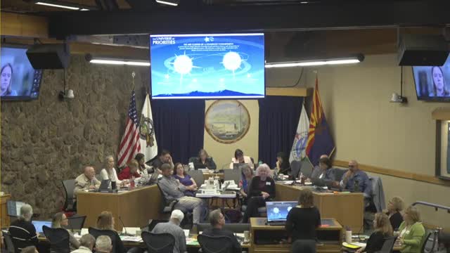
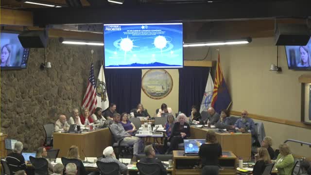
Flagstaff leaders narrow regional plan to focus on land-use priorities, implementation
Planned trails on private land prompt policy shift: officials favor flagged private‑land markers over exact lines
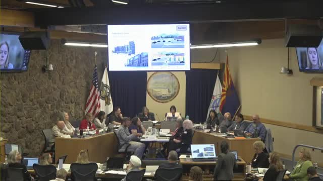
Officials press, developers question Flagstaff future‑growth map and density ranges