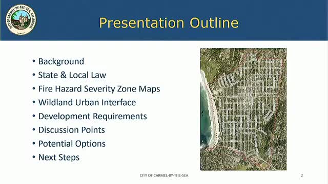
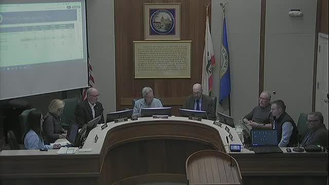
In the tranquil setting of Carmel-by-the-Sea, city officials gathered for a pivotal special meeting on May 5, 2025, to address pressing wildfire preparedness and safety measures. As the sun dipped below the horizon, the council members listened intently to a presentation by Anna Jeanette, the director of community planning and building, who outlined crucial updates to the fire hazard severity zone maps and municipal codes.
The meeting's focus was clear: enhancing public safety and protecting property from the increasing threat of wildfires. Jeanette emphasized the importance of understanding the unique wildfire environment of Carmel, which is shaped by its microclimate, wind patterns, and dense vegetation. The city has one of the highest structure densities in the region, with many older buildings that are particularly vulnerable to ignition. This vulnerability is compounded by the area's topography, which can facilitate the rapid spread of fire.
Before you scroll further...
Get access to the words and decisions of your elected officials for free!
Subscribe for Free The newly proposed fire hazard severity zone maps for 2025 indicate a significant increase in designated high-risk areas, with the very high fire hazard zones expanding from 221 acres to 278 acres. Additionally, new designations for high and moderate zones have been introduced, reflecting a more comprehensive assessment of wildfire risks. This update is not merely a bureaucratic formality; it is a response to the evolving landscape of fire hazards, driven by both environmental factors and historical data.
Jeanette also highlighted the legal framework guiding these updates, noting that state law mandates defensible space requirements in designated fire hazard zones. This includes maintaining specific vegetation management practices to create a buffer against potential fires. The city has already initiated public outreach efforts, providing residents with educational materials on how to comply with these new regulations.
As the council deliberated, three options for moving forward were presented. The first option would simply adopt the maps as prepared by the state fire marshal, meeting minimum state requirements. The second option suggested increasing the severity designation for certain areas, though staff cautioned against this due to potential complications with insurance rates and the justification process. The third, and recommended option, proposed adopting the updated maps while extending the Wildland-Urban Interface (WUI) throughout the city, ensuring uniform regulations for all residents.
The urgency of these discussions was underscored by the impending deadline for adoption, which must be completed by July 8, 2025, in compliance with state law. As the meeting drew to a close, the council was poised to take public comments and deliberate on the best path forward, with the safety of the community hanging in the balance. The decisions made in this meeting could shape the future of wildfire preparedness in Carmel-by-the-Sea, ensuring that both residents and their homes are better protected against the looming threat of wildfires.