Article not found
This article is no longer available. But don't worry—we've gathered other articles that discuss the same topic.
Station Camp master plan proposes mixed-use district with apartments, medical office and senior housing; access and floodplain flagged by staff
City staff to seek site-surety funds for inactive Connect 25 site after bank declines renewal; developer says re-start plan underway

Residents press planning commission over expanded Foxland Harbor marina plan; applicant asks for clarifications
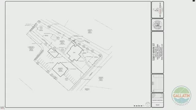
Developer seeks rezoning for Wedgwood townhomes; neighbors press commission on density and neighborhood connections
