Article not found
This article is no longer available. But don't worry—we've gathered other articles that discuss the same topic.
Council passes fireworks ordinance on first reading, seeks county/state enforcement partnership
Fire Rescue and PBSO present annual reports; sheriff’s office introduces Crisis Response Team pilot
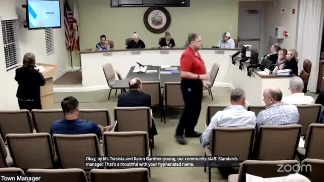
Council hears code enforcement briefing after extended public comments about illegal uses, manure and RVs; staff asked to return with staffing and civil‑citaton
Resiliency study finds higher future rainfall will increase canal stages; town study to model 2040–2070 scenarios