Article not found
This article is no longer available. But don't worry—we've gathered other articles that discuss the same topic.
Encinitas Project outlines fundraising plan; council approves Parks & Recreation work plan and asks for skate/volley/surf study

Encinitas council adopts updated CAL FIRE fire‑hazard severity maps; officials warn of regulatory effects
San Dieguita Water District introduces FY‑26 budget, upholds planned rate changes
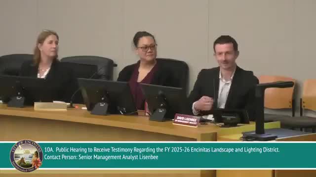
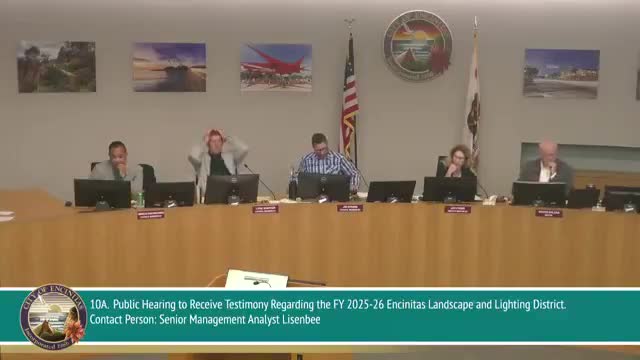
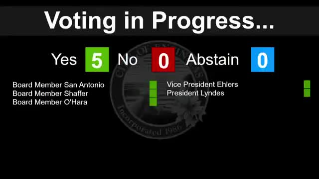
Encinitas council renews Landscape & Lighting District charges, asks staff to review large reserves