Oxnard updates fire hazard severity zone maps under state regulations
May 23, 2025 | Oxnard City, Ventura County, California
Thanks to Scribe from Workplace AI and Family Portal , all articles about California are free for you to enjoy throughout 2025!
This article was created by AI using a video recording of the meeting. It summarizes the key points discussed, but for full details and context, please refer to the video of the full meeting. Link to Full Meeting
The new maps indicate that 421 parcels are classified within a high fire hazard severity zone, while 67 parcels fall into a moderate category. Notably, there are no areas within Oxnard designated as very high fire hazard severity zones, a point emphasized by city officials to reassure residents about their safety. The high-risk zones are primarily located along the Santa Clara River, the Harbor Boulevard corridor, and Ormond Beach areas.
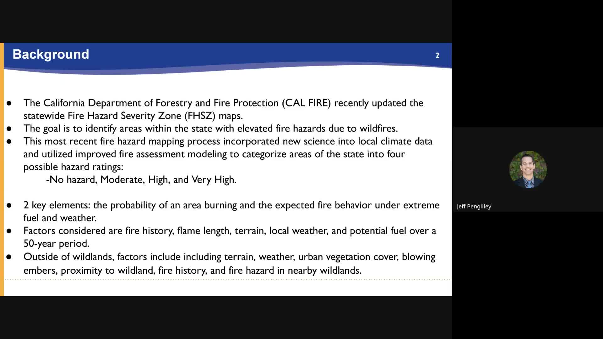
City officials explained that these maps are based on a variety of factors, including fire history, terrain, and local weather patterns, and are designed to evaluate fire hazards rather than risks. This distinction is crucial; while hazard maps assess the likelihood of fire under extreme conditions, risk assessments consider mitigation measures like defensible space and fire-resistant construction. As such, insurance companies may not directly use these hazard maps to determine rates, as their models incorporate more detailed and frequently updated information.
The council highlighted that the last update to these maps occurred in 2007, and the current revisions reflect advancements in modeling techniques and climate data. Under state law, Oxnard is required to adopt these maps within 120 days of their release by the state fire marshal, which occurred on March 10, 2025. The city is on track to meet this deadline, ensuring compliance and enhancing public safety.
In conclusion, the adoption of these fire hazard severity zone maps is a proactive measure aimed at safeguarding the community. By clearly delineating areas at risk, the city aims to inform residents and promote safety practices, ultimately contributing to a more resilient Oxnard.
Converted from City Council 6 03 meeting on May 23, 2025
Link to Full Meeting
Comments
View full meeting
This article is based on a recent meeting—watch the full video and explore the complete transcript for deeper insights into the discussion.
View full meetingSponsors
Proudly supported by sponsors who keep California articles free in 2025
