Article not found
This article is no longer available. But don't worry—we've gathered other articles that discuss the same topic.
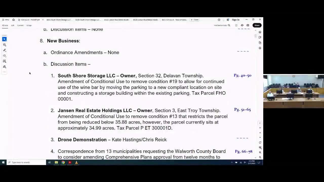
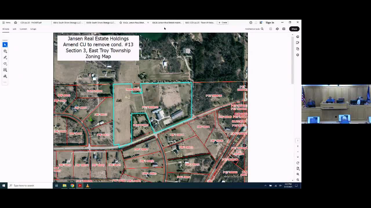
Zoning agency approves removal of conditions on two conditional‑use permits
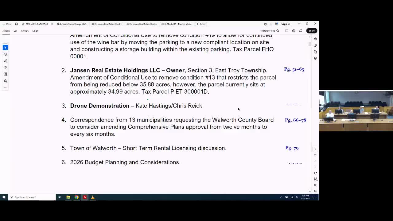
Thirteen municipalities ask Walworth County to allow semiannual comprehensive‑plan amendments; committee directs staff to study process
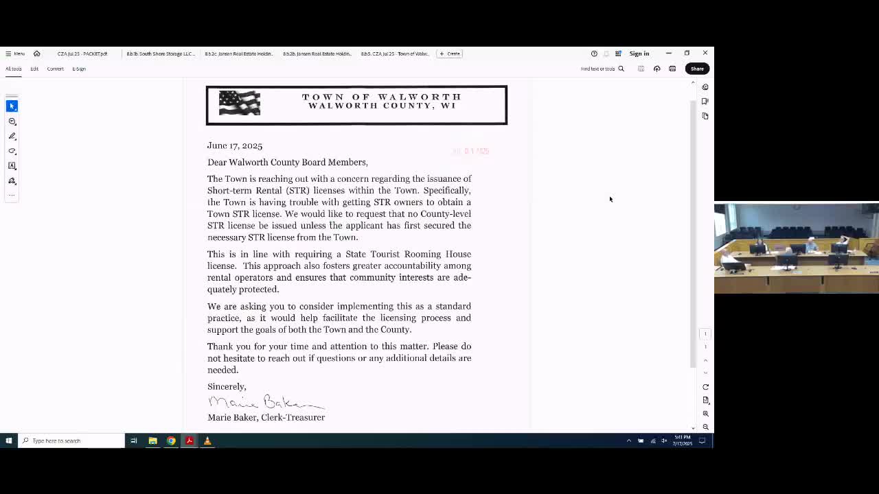
Walworth County staff to notify town clerks when issuing short-term rental licenses after town request