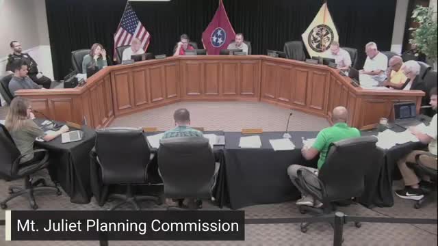
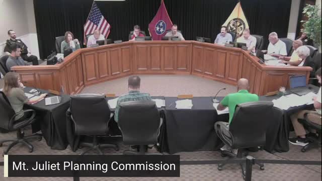
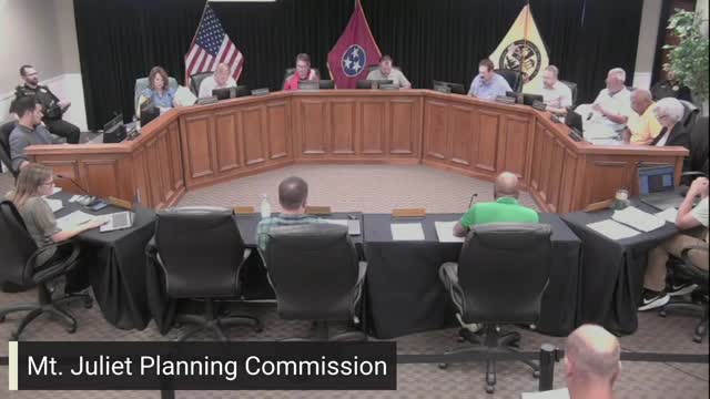
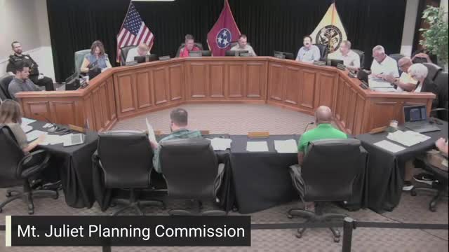
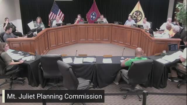
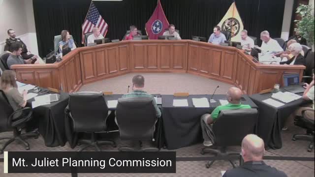
In the heart of Mt. Juliet, city officials gathered under the bright lights of the Planning Commission meeting, where discussions about community infrastructure took center stage. One of the key topics that emerged was the status of the newly constructed police station and its relationship to the old facility, raising questions about property boundaries and future city planning.
A commission member pointed out a curious detail visible on the Geographic Information System (GIS): the new police station appears to straddle two separate properties. This observation sparked a conversation about whether the two buildings should be officially recognized as distinct entities or if they remain one unified property. The member emphasized the importance of clarity, especially as plans for a potential senior center in the old police station are being considered.
The suggestion to replat the properties was met with interest, as it could streamline operations and enhance the planning process for future developments. By separating the two facilities on official records, the city could better manage resources and ensure that each building serves its intended purpose effectively.
As the meeting progressed, the implications of this discussion became clear. Properly delineating the properties could not only aid in administrative efficiency but also pave the way for improved community services, particularly for the senior population. The commission's willingness to address these details reflects a commitment to thoughtful urban planning that prioritizes the needs of Mt. Juliet's residents.
As the meeting concluded, the conversation about the police station and its future role in the community left attendees pondering the broader impact of such decisions on the city's growth and development. The potential replatting stands as a reminder of the importance of meticulous planning in shaping a vibrant and responsive community.