Article not found
This article is no longer available. But don't worry—we've gathered other articles that discuss the same topic.
Aloha Animal Alliance urges countywide, data-driven cat-management strategy and help-desk pilot
Hawaii County public works presents new standard operating procedures for highways division after audit

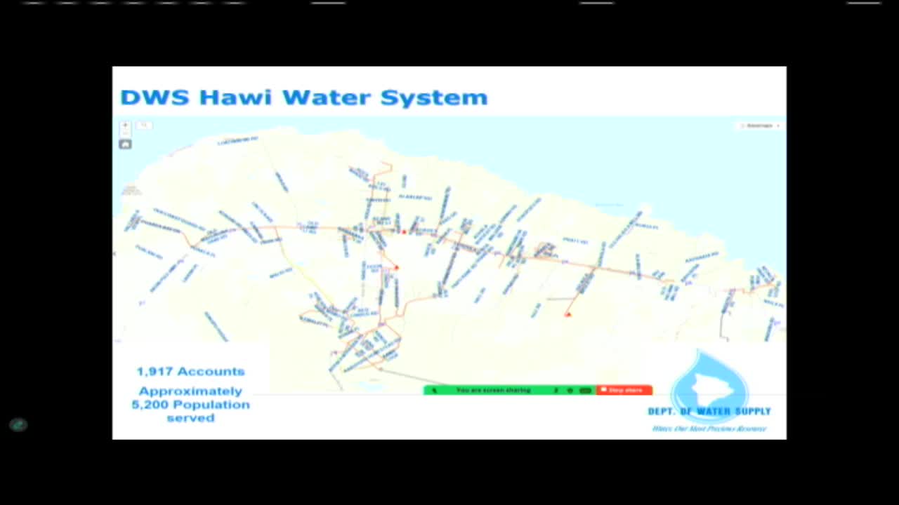
Department of Water Supply outlines emergency repairs, spares and communication steps after North Kohala well failures