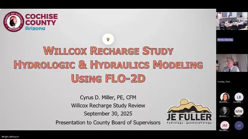
Cochise County Implements Flow2D Modeling for Wilcox Basin Hydrology Analysis
September 30, 2025 | Cochise County, Arizona
This article was created by AI summarizing key points discussed. AI makes mistakes, so for full details and context, please refer to the video of the full meeting. Please report any errors so we can fix them. Report an error »

Cochise County officials are exploring advanced technology to enhance flood management in the Wilcox Basin, a critical area covering approximately 1,700 square miles. During a recent work session, discussions centered on the use of a computer program called Flow2D, which models hydrology and hydraulics to predict water flow and runoff in the region.
The Wilcox Basin, known for its closed basin lake, Wilcox Playa, relies on inflow without any outflow, making effective water management essential for local ecosystems and communities. The Flow2D program utilizes a grid-based approach, breaking the terrain into square cells to simulate rainfall and its movement across the landscape. This innovative method allows for a detailed analysis of how water interacts with the area's topography.
Officials highlighted the advantages of Flow2D over its more complex counterpart, Flow3D. While Flow3D offers higher fidelity modeling, it is also more expensive and time-consuming, particularly when modeling extensive areas with multiple features like bridges. Flow2D, on the other hand, provides sufficient detail for the county's needs while being more efficient and cost-effective.
The project involves dividing the entire basin into 13 individual models, each represented by 40 by 40-foot grids. This structured approach aims to improve the county's ability to predict and manage flood risks, ultimately benefiting residents and local infrastructure.
As Cochise County continues to invest in modern technology for flood control, the community can expect enhanced safety measures and better preparedness for potential flooding events. The use of Flow2D represents a significant step forward in the county's ongoing efforts to protect its residents and natural resources.
View full meeting
This article is based on a recent meeting—watch the full video and explore the complete transcript for deeper insights into the discussion.
View full meeting
