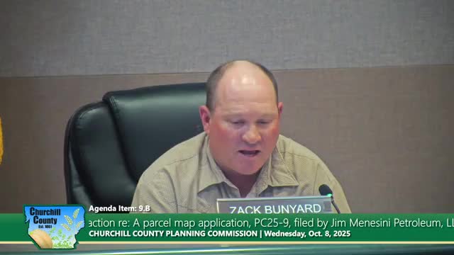
Planning commission recommends approval of parcel map reversion to acreage for Jim Menasini Petroleum LLC
Get AI-powered insights, summaries, and transcripts
Subscribe
Summary
The commission recommended that the Board of County Commissioners approve a reversion-to-acreage parcel map that merges two lots at 7925 Reno Highway into one parcel; staff said there were no issues under reversion criteria.
The Churchill County Public Works and Planning Commission recommended approval to the Board of County Commissioners for a reversion-to-acreage parcel map (PC 25-9) for Jim Menasini Petroleum LLC.
The request merges two parcels at 7925 Reno Highway (APNs 00727143 and 00727156) into a single lot. Consultant David Crook of Lubas and Associates described the change as a simple removal of an interior lot line to create one larger parcel. County staff (Amos Akena) said the 10-foot public utilities easement that crosses the center of the property will remain unchanged and that no significant issues were identified under the criteria for map reversion.
Commissioner Vicki Sodegui (recorded in the transcript as moving the recommendation) moved to recommend approval to the Board of County Commissioners; the motion passed unanimously. As with other map and zone-change items, the planning commission’s recommendation will be forwarded to the Board of County Commissioners for final action.
