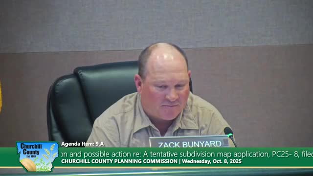
Planning commission recommends approval of Sand Creek tentative map for 180 lots, asks county to ensure county-maintained roads
Get AI-powered insights, summaries, and transcripts
Subscribe
Summary
The Planning Commission recommended the Board of County Commissioners approve a tentative subdivision map for Sand Creek Subdivision (about 47.37 acres) to create roughly 180 R‑1 lots, subject to conditions and an amendment requiring a financial arrangement for county-maintained roads rather than placing maintenance burdens on homeowners.
The Churchill County Public Works and Planning Commission voted unanimously to recommend approval of a tentative map for the Sand Creek Subdivision (PC 25-8), a reconfiguration of part of the former Old Stone Ranch planned unit development, with conditions and a specific amendment to require a county-maintained financial arrangement for roads.
The proposal, submitted by Casey Road LLC, covers two assessor parcels (APNs 008-792-95 and 008-792-11) comprising about 47.37 acres zoned R-1 and proposes roughly 180 single-family lots (about 3.8 units per acre). The tentative map stage establishes the basic lot layout and major infrastructure elements; the applicant will later submit final maps with engineering details and conditions implemented.
Steve Moon of Lubas and Associates summarized the history: the north unit of the Old Stone Ranch PUD is being reconfigured from an earlier higher-density plan and reduced to single-family lots that county staff said are similar in character and density to adjacent neighborhoods. “It was in coordinated with that original version that came forward,” Moon said, describing existing county sewer and water lines and the intent to extend utilities through the new streets.
Planning staff explained key technical issues and recommended conditions. Major items include phasing (the project is divided into eight phases with five phases west of Wildcat Parkway and the remainder to the east), off-site road improvements, and the need for a variance on a current width requirement before final map recordation. Staff noted agencies such as the Nevada Department of Wildlife, the Nevada Division of Environmental Protection and TCID were consulted and raised no significant concerns.
Traffic and off-site intersection work was a focus. Staff and the applicant described a traffic update letter recommending a Casey Road turn lane to be constructed with phase 1, and improvements at the Birch Lane and Allen intersection to be addressed through road fees collected at final map recordation. The county’s road supervisor indicated those road fees would be used for the Birch Lane/Allen intersection improvements and other off-site work. On ownership questions, staff confirmed the portion of Allen Road adjacent to the project is county-owned.
The proposal prompted extended discussion about long-term maintenance of the increased county road mileage the subdivision will create. Staff described options including a special assessment district, impact or lot fees, homeowners associations or keeping roads public and county-maintained. Several public speakers and commissioners expressed opposition to private maintenance or HOA mechanisms; resident Kim McCreary told the commission potential buyers “do not want to maintain the county’s roads.” The commission amended a staff condition (item D) to strike language that left road maintenance arrangements open-ended and to require a financial arrangement ensuring the county would maintain the roads, then recommended approval to the Board of County Commissioners. Commissioner Joe Frey moved the main recommendation, which included voiding the prior Old Stone Ranch PUD for the north unit; the motion passed unanimously.
The planning commission’s recommendation and conditions will be forwarded to the Board of County Commissioners for final action. Staff and the applicant said remaining technical items — easement abandonments, the final engineering design, and the variance for the width requirement — will be resolved before the final map is recorded.
