City staff previews coastal geotechnical hazards resource and mapping to support LCP certification
Get AI-powered insights, summaries, and transcripts
Subscribe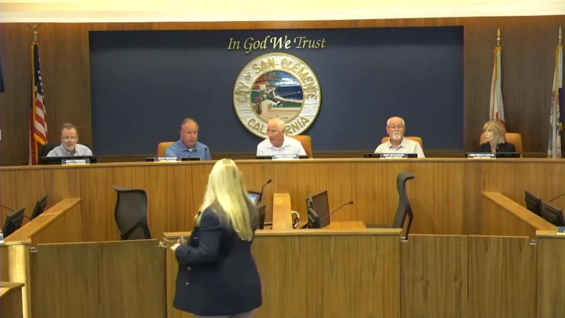
Summary
Planning staff showed an online viewer and appendix of geologic zones, annotated drone imagery and baseline erosion rates to help property owners and reviewers prepare site-specific geologic reports as the city moves toward certifying a Local Coastal Program (LCP).
San Clemente planning staff presented an update Oct. 8 on a grant-funded geotechnical hazards resource intended to support a Local Coastal Program (LCP) update and, ultimately, local coastal permitting. The project features simplified geologic-zone mapping, a user-facing viewer with zone-level hazard summaries and annotated drone imagery of coastal bluffs.
Senior Planner Christopher Wright said the resource provides baseline erosion rates by zone, hazard descriptions, and example images collected and annotated with the city's ocean lifeguard department drone flights. The goal is to help property owners and geotechnical consultants prepare site-specific geologic-hazards reports more efficiently and consistently and to support the city's permit-review process if the city pursues Coastal Commission delegation and LCP certification.
Wright said the project is grant funded and staff has met with the California Coastal Commission; the team will meet again in November and hopes to deliver a more polished resource for review by the Planning Commission in early December. The resource includes a report appendix, a colorful comparison chart of hazard types and risk levels across mapped zones, and photo-based camera views that illustrate coastal bluff features.
Why it matters: The resource aims to reduce uncertainty for applicants and staff during coastal development review, to provide consistent baseline assumptions for geotechnical reports and to help the city implement LCP policies efficiently if the city obtains permitting authority from the Coastal Commission.
Next steps: Staff will continue mapping and development of the online viewer, meet again with the Coastal Commission in November, and return to the Planning Commission with a polished draft in early December for additional review and comment.
Speakers listed in this item are the planning staff who presented the LCP geotechnical resource.