Get Full Government Meeting Transcripts, Videos, & Alerts Forever!
Get email alerts on the Active Transportation topic
No spam. Unsubscribe anytime.
Residents ask for more Ohio-to-Erie signage, trail maps and bike racks on the square
Summary
Sunbury residents asked the Parks committee to add more Ohio-to-Erie Trail signage on East Cherry Street, create a public-facing trail map and revisit bicycle rack placement on the square after mixed reactions from business owners.
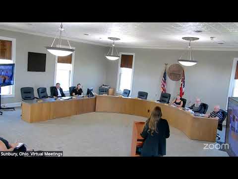
A pair of resident comments on Aug. 6 asked Sunbury’s Parks and Recreation Committee to install additional Ohio-to-Erie Trail signs near East Cherry Street, publish a consolidated trail map and reconsider bike-rack placement downtown.
A resident who lives near East Cherry Street said cyclists frequently stop at her home to ask for directions; committee members noted additional signs had been installed at major intersections about a year earlier but agreed there may be useful mid-block or directional signage to help trail users find the downtown square. Amber, parks staff, said staff will review optimal locations and coordinate with the service team; she cautioned that some property owners may object to signs in public rights-of-way.
On bike parking, staff said previously purchased bike racks (from a grant) must be drilled into concrete and some downtown business owners opposed racks immediately in front of storefronts. Amber and committee members said they would re-engage businesses to seek acceptable locations and consider placing racks at the park and in nearby parking lots; the committee noted the park area already has bike racks that some residents use.
Committee members also confirmed staff had started a public trails map project earlier (Alyssa initiated the work; Verdantus was referenced as a vendor) and that the city’s GIS could host a mapped layer. Staff agreed to pull together the existing materials and plan a user-friendly public map showing trail connections and suggested safe routes to schools as the new school year begins.
No formal actions were taken; staff will survey locations for additional signs, re-open discussion with downtown businesses about bike racks, and gather existing trail map materials for conversion to a public-facing map.