Planning committee marks up general plan maps; focuses on trails, road connectivity and zoning buffers
Get AI-powered insights, summaries, and transcripts
Subscribe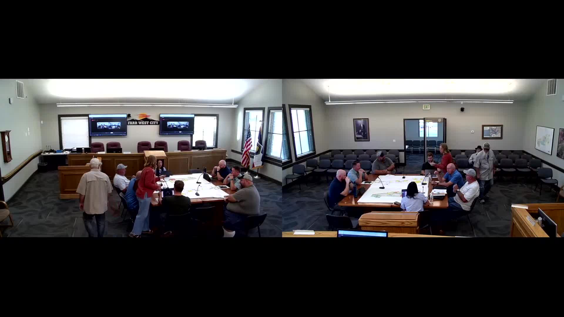
Summary
Commission members and staff reviewed future‑land‑use, parks and trails maps, discussed road connections and pedestrian crossings, and proposed code changes to limit certain commercial uses along the 2000 West gateway.
Members of Farr West’s planning committee spent much of a meeting reviewing draft general‑plan maps and related graphics, marking up trails, park locations, future road connectivity and potential zoning buffers along key corridors.
Committee members identified 2000 West as a primary gateway and discussed defining a more limited set of permitted commercial uses there, suggesting that a code amendment to C‑2 rather than a policy change in the general plan would be the cleaner approach. “We could revise the code and have a segment that says this is a city‑center zone,” one member said, recommending a narrower list of permitted uses to prevent heavy industrial or incompatible commercial uses near residential cores.
Staff and members also compared the city’s maps with those from regional partners — including the Wasatch Front Regional Council and neighboring jurisdictions — and urged coordination so trail and crossing locations align. Committee members noted planned canal crossings and pedestrian connections across I‑15, and asked that the city’s trails map match regional trail plans so connections to adjacent communities are seamless.
Other specific map fixes included clarifying open‑space versus civic‑use colors on the printed maps, labeling detention basins on the surface‑water map, and showing planned crossings and multi‑use trails. Committee members also flagged a parcel that had been marketed to a builder (Slater’s parcel) and discussed phasing and park acreage, referencing a parks standard of “10 acres per 1,000 people” to explain how open‑space needs were calculated.
Staff agreed to prepare updated PDFs, correct legend colors, and prepare presentation boards for an upcoming open house; members asked for a brief explanatory handout showing the parks formula and the rationale behind future‑land‑use choices so the public can review it before the open house.
Commissioners and staff also discussed an annexation plan that is a separate document from the general plan; they asked to ensure the annexation map and the future‑land‑use maps are consistent. The committee set follow‑up tasks to finalize map markups, coordinate with regional agencies on trail crossings, and schedule the public open house and subsequent planning commission work sessions.