Get Full Government Meeting Transcripts, Videos, & Alerts Forever!
Get email alerts on the Road Naming topic
No spam. Unsubscribe anytime.
Board approves modified DOT road-name map after review of historic closures and class 6 roads
Summary
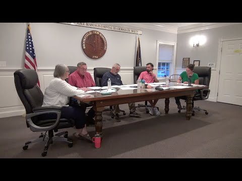
Select Board members reviewed a DOT map with suggested town road names, discussed historical closures from a 1965 town meeting, and voted to accept the map as modified; staff will clean up the digital map and add scenic roads and landmarks.
Brookfield board members reviewed a DOT road-name map, discussed several historic and private roads, and voted to accept the map as modified so the town can submit consistent names for 911 and mapping systems.
Discussion focused on several named roads (Hansen Road, Moose Mountain Road, Woodman Hill Road, Sanborn Road) and on how older, discontinued or class 6 roads should be shown. The board cited a 1965 town meeting Article 14 that closed certain roads “subject to gates and bars,” noting that closed or discontinued roads should not be shown as active town roads on new maps.
The board asked staff to clean up the map text (including full names where abbreviations created ambiguity) and to add scenic roads and other landmarks on the published physical map. Members agreed to hold one road name (a Woodland/Woodman Hill section) while staff researched whether that alignment had been legally discontinued or reclassified; the remainder of names were approved. A motion to accept the town road map “as modified” was made, seconded and carried.
The board also instructed staff to resolve a small unconnected 200-foot spur across the river—options discussed included renaming the short spur to Sanborn extension or assigning a new name—so emergency services have clear routing information for 911.