Get Full Government Meeting Transcripts, Videos, & Alerts Forever!
Get email alerts on the Transportation Infrastructure topic
No spam. Unsubscribe anytime.
Commission approves bike lanes and double yellow on Plymouth Road; option favors two 10-foot vehicle lanes and 5-foot bike lanes
Summary
After public comment and staff analysis, the City Commission approved pavement markings on Plymouth Road between Hall Street and Martin Luther King Jr. Street that establish two 10-foot travel lanes and two 5-foot bike lanes; staff framed the change as a low-cost, reversible pilot tied to the city's mobility plan.
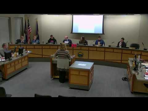
The East Grand Rapids City Commission voted on May 20 to install pavement markings on Plymouth Road from Hall Street to Martin Luther King Jr. Street that establish two 10-foot travel lanes and two 5-foot bike lanes, aligning that stretch with the city’s mobility plan and adjacent Grand Rapids facilities.
Public Works Planner Lefebvre presented two design options and recommended Option 1: two 10-foot motor vehicle lanes with 5-foot bike lanes on each side. Lefebvre cited consistent traffic counts (7,100–9,000 vehicles per day in recent years), five-year bicycle crash data showing multiple bicycle-involved crashes along the corridor, and low on-street parking utilization in the specific segment. "Anything over 4,000 vehicles ADT per day, we should assign a center line," Lefebvre said, explaining why a marked center line and dedicated bike lanes are appropriate.
Advocates for the marked lanes said the proposal completes a connectivity gap with Grand Rapids and improves safety. "If we value multimodal streets...then let's model it and move on it," said resident Mandy Sharp Eisinger during public comment. Several cycling advocates urged the commission to add green bike-lane treatments at intersections and consider plastic bollards or painted conflict zones to reduce right-hook conflicts.
Neighbors and some residents asked for more time and additional data. Several speakers who live on or near Plymouth Road urged the commission to pause for further outreach and clarified concerns about driveway parking, contractor vehicle behavior and event-day parking impacts. Resident Tripp Fry asked the commission to "table the two current proposals on Plymouth Road and to commit to further discussion," saying local sentiment had not coalesced around either option.
Commissioners debated pilot-versus-permanent framing and the value of proceeding promptly. Commissioner Burdick and others said they favored Option 1 as a reversible, low-cost change that could be monitored and adjusted. Mayor and other commissioners noted pavement markings are inexpensive to change if needed. The motion to adopt Option 1 passed on a voice vote; the transcript records opposition but does not list a roll-call tally.
Why it matters: The marking connects to a broader multimodal network, addresses a documented crash history for cyclists on that corridor, and is consistent with the city's 2020–22 Mobility/Bike Action Plan. City staff said the project does not change curbs or right-of-way and can be revised if the pilot yields unforeseen problems.
What’s next: Public Works will implement pavement markings this construction season (work to start after the Fourth of July), update signage and monitor operations and safety. Staff said installation costs are modest compared with full curb reconstruction and can be modified if outcomes require it.