Cheyenne council approves annexations, assigns city zoning for multiple parcels
Get AI-powered insights, summaries, and transcripts
Subscribe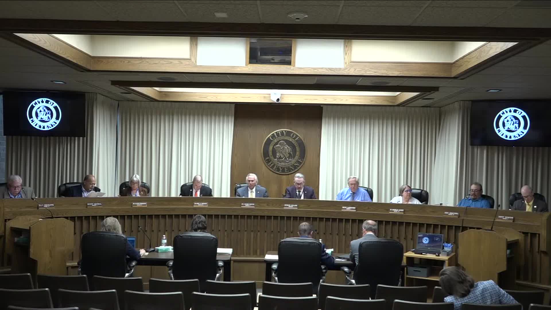
Summary
The Cheyenne City Council on Aug. 11 approved an annexation of roughly 18.62 acres northeast of Frontier Mall Drive and Routaire Avenue and adopted a separate ordinance annexing 38 county-pocket properties; the council also approved city zoning classifications for annexed land and other owner-initiated zone changes.
The Cheyenne City Council on Aug. 11 held a public hearing and approved multiple annexation and zoning measures that add parcels to city limits and assign city zoning consistent with county classifications.
Staff reported that the annexation under consideration covers about 18.62 acres northeast of Frontier Mall Drive and Routaire (Routaire) Avenue and west of Converse Avenue; the annexation petition was filed June 17, 2025, and certified June 20, 2025 in accordance with Wyoming Statute 15-1-402(a). Planning staff told the council the larger tract in the Windco (WinCo) Subdivision is roughly 69% contiguous to city limits and another parcel near Converse Avenue and East Carlson is roughly 62% contiguous. Staff said certified notice to landowners and utilities was mailed the week of July 10; the earliest confirmed receipt was July 12.
Planning staff (Merritt) told the council that all city services and utilities available inside the city will be provided to residents of the annexed land, and that extending sewer or water would increase the health and safety of residents. Merritt said the annexed area is inside the urban service boundary and designated mixed-use commercial on the future land-use map. Merritt also stated that the smaller 1.82-acre parcel does not yet have a specific development plan and that the larger tract “could potentially be what's going there” for a WinCo supermarket, but staff added there have been no formal submittals.
Later in the meeting the council approved on third and final reading an ordinance annexing 38 county-pocket properties in eastern Cheyenne (generally south of Delrange Boulevard, east of Dry Creek, west of Whitney Road and north of Charles Street). The motion to approve that annexation was made by Councilmember Seagrave, seconded by Councilmember White. The annexation ordinance passed with two no votes: Councilmember Moody and Councilmember (Doctor) Aldrich voted no; the remaining voting members approved the measure.
The council also approved on third and final reading the establishment of city zoning classifications for land annexed in that same eastern area, assigning zones including AR (agricultural residential), MR (medium-density residential), HR (high-density residential), CB (community business) and MUR (mixed-use residential). A separate owner-initiated rezoning of land south of Interstate 80 and west of Round Top Road from LI (Light Industrial) to BP (Business Park) was approved on third reading as well.
Council discussion asked planning staff about outreach and whether adjacent property owners had concerns; Merritt reported receiving a single phone call from an adjacent hotel with no objections. Councilmembers clarified that the city generally assigns initial zones closest to existing county zoning and that specific parcels can be rezoned later; Merritt said the north 1.82-acre parcel will likely be rezoned to residential in a subsequent filing within roughly one to two months.
No members of the public addressed the council at the public hearing on the 18.62-acre annexation. The council voted in favor of moving the annexation and zoning items through the committee and to final readings where listed.