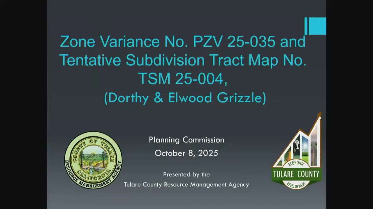
Commission recommends board approve Greisel subdivision — eight parcels proposed from 40.5-acre site
Get AI-powered insights, summaries, and transcripts
Subscribe
Summary
The commission recommended approval of a zone variance (PZV25-035) and advised the Board of Supervisors to certify a common-sense CEQA exemption and approve tentative tract map TSM 25-004 to split a 40.5-acre property into eight parcels in the Plant Development Foothill overlay zone.
The Tulare County Planning Commission on Oct. 8 recommended that the Board of Supervisors adopt a CEQA "common-sense" exemption and approve a tentative subdivision map to divide a 40.5-acre property into eight parcels in the Plant Development Foothill (PDFM) overlay zone.
Nabeu Menkur, the county project planner, told the commission the application requested a zone variance (PZV25-035) because the proposed parcels did not meet minimum parcel sizes in the zone. Menkur said the property, owned by Dorothy and Elwood Greisel, would be divided into eight parcels ranging from 4.86 to 4.88 acres, and noted the site is located outside an urban boundary and is subject to the Foothill Growth Management Plan.
Staff identified the four mandatory findings for a zone variance and recommended approval, noting surrounding properties have been subdivided into similar five-acre or smaller parcels and that the project met relevant General Plan and foothill-plan policies. Elvia Lopez, representing Central Valley Engineering and Surveying for the applicants, said the owners would comply with conditions of approval and that the required PRC review had been completed.
Why it matters: Because the site lies outside an urban boundary, the planning commission acts in an advisory role; the Board of Supervisors makes final decisions on tentative subdivision maps under state subdivision law. If the board adopts the recommendation, the property could be recorded as smaller parcels, changing ownership and development potential in the foothills area.
Votes and motions: The commission voted to approve the zone variance. The transcript records: "Motion passed. Motion by Millis, second by Stoll. 5 yes, 0 abstains, and 2 absence." The commission also voted to recommend that the Board of Supervisors certify a common-sense CEQA exemption and approve tentative tract map TSM 25-004; the transcript records: "Motion by Millis, second by Lehman. Motion passed 5 yes, 2 absences and 0 abstain."
Site specifics: The proposed parcels (Parcels 1–8) are 4.86–4.88 acres each. The site contains two carports, two wells, and power poles; some existing underground features identified by the surveyor would be abandoned. Access is proposed via a private road constructed to the county's Class 1 road standard. Agencies consulted include County Environmental Health, Fire Department, Engineering, California Department of Fish and Wildlife and U.S. Fish and Wildlife Service; the site lies near the periphery of California condor range buffers and is within FEMA Zone X (no special flood mitigation required).
Ending: With the planning commission's recommendation, the matter moves to the Board of Supervisors for final action on the tentative tract map and associated CEQA certification.
