Get Full Government Meeting Transcripts, Videos, & Alerts Forever!
Get email alerts on the Halsey Design Standards topic
No spam. Unsubscribe anytime.
Troutdale planners weigh design standards, stepped heights for Halsey Corridor
Summary
Consultants and staff presented draft design standards for the Halsey Corridor including a possible 45-foot height limit with required stepbacks, frontage and parking rules and options to exempt McMenamins’ parcels; commissioners and residents pressed for slope, views and parking protections.
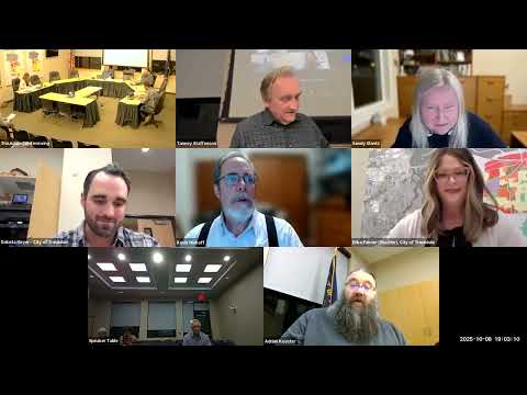
Consultants and city staff updated the Troutdale Planning Commission on design-standard concepts for the Halsey Corridor on Oct. 8, describing draft rules intended to guide future building massing, frontage, parking and street-facing design.
The presentation, led by Matt Hastie of MIG and city planning staff, said the draft approach would allow maximum building heights in the corridor up to 45 feet, with higher heights possible where stepped-back upper floors, ground-floor commercial, and selected design features are provided. Staff described frontage requirements, limits on parking between buildings and sidewalks, perimeter landscaping, and massing controls that would limit long, uninterrupted facades and large building footprints.
The recommendations are part of a grant-funded code audit and design standards project aimed at the Halsey Corridor west of 250 Seventh (the area the presentation referred to as “West of 250 Seventh”); staff said the standards would apply mainly in MU-1 and MU-2 zones but asked commissioners whether the general commercial zone near McMenamins/Edgefield should be included.
The consultant said early community tabling at a First Friday event showed general public support for modest height increases if the taller buildings stepped back above 35 feet. “The majority of them didn’t have a significant problem with that,” Matt Hastie said, noting limited participation at the tabling and some inconsistencies in which questions people completed.
Commissioners and staff pressed for more detail on slope-sensitive measurement of height and how stepbacks would look on sloped lots. Commissioner Sandy Glantz urged the code to account for topography so bluff and river views would not be blocked. Planning staff responded that height is measured from the completed ground floor and that sloping sites can be designed with tuck‑under parking or stepped backs to reduce perceived bulk.
Commissioners debated whether parcels owned by McMenamins/Edgefield should be exempted from the new overlay. Commissioner Kevin Minkoff said he favored an exception for McMenamins because of its distinct character; other commissioners said exemptions raise legal and policy questions if ownership changes. Staff recommended further work to compare existing general commercial standards with the proposed corridor standards before deciding whether to include that area.
Design elements that drew strong support during tabling included pedestrian plazas, outdoor seating and murals; staff proposed a “select-from-a-list” approach rather than a complex point system used in an earlier regional draft. Staff also proposed limiting building footprints (a sample figure was 20,000 square feet) and requiring façade articulation so large buildings do not read as a single monolithic block.
Public comment highlighted view and parking concerns. Resident Beth Landon said outreach should include more direct mail or targeted contact for people most likely to be affected and urged the commission to plan for realistic parking needs.
Staff said they will return with draft code language and suggested standards for commissioner review and additional public outreach. No formal action was taken; staff will prepare code amendments for later hearings.
Ending: Commissioners asked staff to refine slope-sensitive height measurements, explore exceptions or tailored approaches for McMenamins parcels, and return with draft language and more outreach to affected property owners and neighborhoods.