Get Full Government Meeting Transcripts, Videos, & Alerts Forever!
Get email alerts on the Waterways Dredging topic
No spam. Unsubscribe anytime.
Port Richey council approves Stantec dredging study after narrowing survey area
Summary
Port Richey City Council approved a Stantec feasibility and data-collection study for waterways dredging with several scope adjustments, removing a problematic canal segment and adding reconnaissance near Manatee Point and Brasher Park.
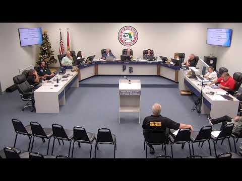
Port Richey City Council on Aug. 12 approved a contract with Stantec Consulting Services to perform waterway data collection and a dredging feasibility analysis, but moved to narrow and tweak the survey area before work starts.
The council acted after a presentation from Matthew Star of Stantec, who told the council the study would “take a snapshot in time to see what the current conditions are in the field, to assess the seagrass, see where it is, where it isn't, do a hydrographic survey to see how deep the water is, what needs to be dredged, what does not need to be dredged, [and] engage the permitting agencies.”
Why it matters: the study is a necessary first step before any dredging or permitting can proceed. Council members and residents emphasized the need to prioritize areas where homeowners and boaters currently lack reliable access to navigable water.
What the council changed: members agreed to remove a long, low‑value inland spur labeled “channel 23” from the survey and to pull back a proposed section behind the Martha’s Vineyard/Deidra Circle area. They also directed staff to extend the survey line down Manatee Point to the city line and to add the Brasher Park area so it can be evaluated as a potential future local boat launch. Council members understood the scope changes will alter the Stantec price; Stantec said eliminating and adding linear feet would likely be roughly cost‑neutral but offered to return with a revised, itemized price.
Cost context: Stantec’s expanded scope in the packet was roughly $407,000 compared with an earlier, smaller scope that was in the low $292,000 range. Council approved proceeding with the revised scope subject to a final, consolidated scope and contract that reflects the agreed removals and additions.
Process and next steps: the engineering work will include seagrass mapping, hydrographic surveys and initial permitting outreach to the U.S. Army Corps of Engineers and Florida DEP. Staff asked Stantec to combine all edits into a single final scope and return with a final price and contract for signature as quickly as possible to meet the field season window the consultant described.
Council action: the motion to approve the Stantec scope with the agreed edits passed unanimously during the meeting; council members said they expected a cost adjustment and asked staff to present the revised contract for signature at the earliest feasible meeting.
Community reaction and follow up: several residents and council members debated whether other nearby waterways (including Rocky Creek and some Pasco County connections) should be added; staff and Stantec said the city can collect data inside its boundary now and coordinate with Pasco County or New Port Richey for waterways outside Port Richey City limits. Stantec pledged to return with the consolidated scope and a revised price.