Planning commission endorses 2045 future land‑use map, limited changes affect under 6% of county land
Get AI-powered insights, summaries, and transcripts
Subscribe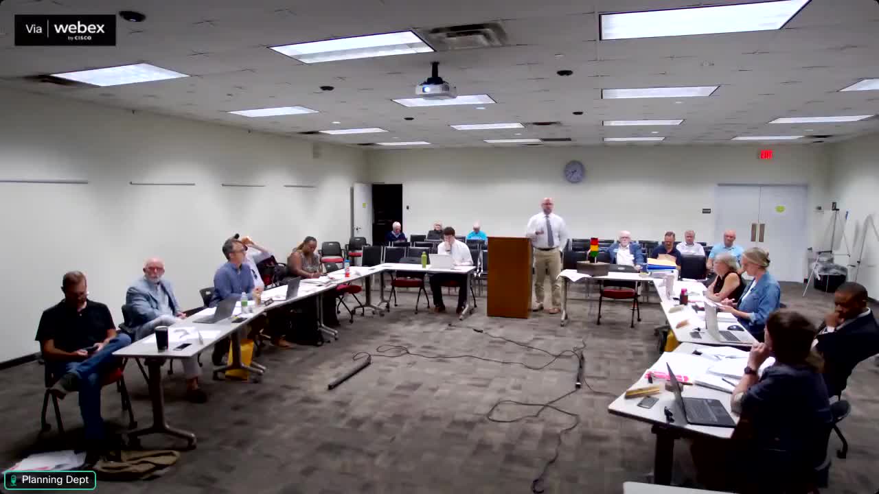
Summary
The planning commission unanimously recommended adoption of a 2045 future land‑use map and accompanying category descriptions and compatibility matrix, the product of a multi‑year public process and steering‑committee work.
The Athens‑Clarke County Planning Commission on Thursday voted unanimously to forward to the mayor and commission a new 2045 future land‑use map, revised future‑use category text, and a compatibility matrix that ties future land use to zoning.
Planning staff summarized a multi‑year public process that included a future‑land‑use steering committee, repeated public input sessions and “ground‑truthing” of parcels. Staff said the steering committee’s final recommendation would change the future‑use designation on less than 6% of county land area; many changes were clarifying (for example splitting the old “government” category into three: government, parks/open space and education) and others reflect existing development on the ground.
Key policy goals in the adopted document set included directing growth to locations with existing infrastructure, preserving environmentally sensitive areas and open space, and encouraging a broader variety of housing types to accommodate projected population growth through 2045. Staff said the product is intended to be a 20‑year guide and a tool the county will use when evaluating rezoning requests and long‑range plans.
Commissioners and staff discussed how the compatibility matrix should be framed for elected officials and the public so it does not appear to automatically grant rezoning: future‑land‑use compatibility indicates what zoning classifications would be considered appropriate, not automatic approvals. Several commissioners asked staff to add brief explanatory text for distribution with the mayor‑commission packet so elected officials understand how to interpret the matrix.
The commission’s recommendation will go to mayor and commission, and staff said it will prepare supplemental explanatory materials and outreach to assist elected officials and the public in reviewing the package.