Get AI Briefings, Transcripts & Alerts on Local & National Government Meetings — Forever.
Council approves first reading of future land-use map amendment and companion rezoning for Antioch Road property
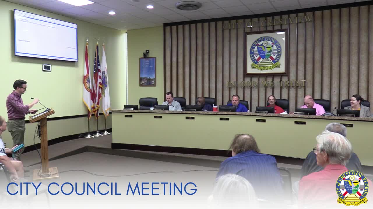
Summary
Crestview City Council advanced two related ordinances on first reading to change roughly 7.56 acres on Antioch Road from commercial to residential use and rezone it to allow up to 8 units per acre; council moved both items to second reading with unanimous votes (4–0, 1 absent).
The Crestview City Council voted unanimously on first reading to advance two companion measures that would amend the comprehensive plan’s future land-use map and rezone about 7.56 acres on Antioch Road from commercial to residential use.
At the meeting, planning staff said the applicant submitted requests on July 31 to change the future land-use designation from commercial to residential and to rezone the property from Commercial Low Intensity to R-3 (single- and multifamily density dwelling), a district that allows up to eight units per acre. Staff noted the conceptual plan in the packet shows a proposed density of about 4.81 units per acre and that no formal development application or plat has yet been filed.
The council moved ordinance 20‑10, the future land-use map amendment, to second reading on a motion by Councilman Hayes and a second from Councilman Frost. The vote was 4–0 with one councilmember absent. The council then moved the companion rezoning, ordinance 20‑11, to second reading on a motion by Mayor Pro Tem Capps and a second by Councilman Hayes; that motion also carried 4–0 with one absence.
Councilman Bulleit raised flooding concerns for the site, noting the conceptual plan estimated roughly 31 residential units and asking what stormwater protections would be required. Planning staff replied that stormwater and drainage will be reviewed as part of a future development application and by the regional water‑management district; they also said the development order and plats are now administered as an administrative process under recent changes to state statute and will not return to council for approval unless the council requests additional briefing.
No public hearing was held at first reading; staff told the council that members of the public who wish to comment may do so during general comments and that a formal public hearing would occur at second reading. Staff further noted that adjacent parcels include existing commercial properties and public lands (a golf course) and that some nearby parcels in Okaloosa County are zoned for low‑density residential or agricultural uses.
The council did not vote on final adoption. The items will return for a required second reading and public hearing before any change becomes effective.