Howard County continues public hearing on proposed assessment increase for John Galbraith regulated drain after lengthy resident testimony
Get AI-powered insights, summaries, and transcripts
Subscribe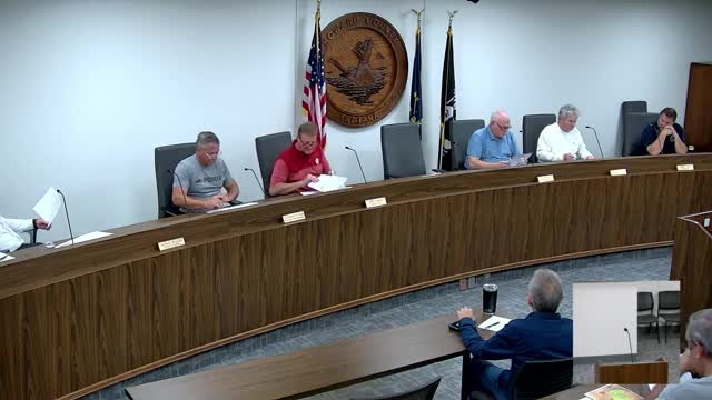
Summary
Howard County Drainage Board continued a public hearing on Oct. 6 on HCDB 25-06, a proposed three-year assessment increase for the John Galbraith watershed to retire a $16,164.98 drain debt and fund engineering for possible reconstruction.
The Howard County Drainage Board on Oct. 6 heard more than two hours of testimony and technical explanation on a proposed assessment increase for the John Galbraith regulated drain watershed, then voted to continue the public hearing to Nov. 3 after board discussion and public comment.
Paul (staff) described the John Galbraith drainas a regulated system in Harrison Township that begins as tile in agricultural fields west of Dixon Road, runs roughly 2,000 feet, crosses Dixon and outlets through Cotswold Hills to State Road 26, then into Walnut Estates, the Wildcat Creek Golf Course and ultimately West Fork Little Wildcat Creek. The watershed covers 332.79 acres and 129 parcels, the speaker said; the drain was first made a court drain in 1912, and the first assessment was set in 1975 and collected in 1976.
Paul said the drain has seen repeated maintenance needs and recent failures: tiles collapsed beneath Dixon Road in 2024 and heavy rains in June 2025 caused erosion at multiple locations. The drain currently carries a debt of $16,164.98, and the present assessment rates were described in the hearing as $1,978 per acre with a $10 minimum, yielding about $1,826.56 per year in collections for the drain.
Under the proposal HCDB 25-06, the board would temporarily increase collections to generate about $50,000 in the first year and approximately $150,000 over three years (the speakersaid the plan would collect for three years), with a $300 minimum fee for those three years, then reduce annual collections to a maintenance rate of about $13,000 per year thereafter. The increased funds would repay the current debt and pay for engineering and design work (the speaker estimated soft costs around $120,000 and an initial engineering allocation of about $20,000) to produce multiple reconstruction alternatives and cost estimates. The speaker said full reconstruction options previously considered could be exorbitantly expensive and possibly unattainable for the watershed; he estimated a future reconstruction might range roughly from several hundred thousand to about $500,000 or more depending on option chosen.
Paul described a proposed public process: the county would use the first year to fund investigation and engineering, present alternatives and cost estimates at a town-hall meeting next spring open to all watershed owners, and then the watershed owners' preferences would inform whether the assessment continues toward reconstruction. "If the majority of the folks in the town hall are willing to choose an option, we continue with the assessment moving forward. If the majority are not willing," he said, "I propose that we turn the assessment off after the first year and drop it to the normal maintenance level."
Residents at the hearing gave extended testimony about flooding and cost impacts. Chris Markiewicz (Lot 28, Cotswold Hills) said his property taxes and fixed incomes make an additional assessment of about $300 per year unaffordable; he asked the board to table the matter until homeowner association meetings could convene. Josh Cawthorn (1970 Northampton Drive) described repeated basement flooding, including an incident this spring he said left his basement knee-deep after intense rains; he asked whether temporary measures could divert farm runoff to other ditches while a long-term plan is developed. Kent Williams spoke for his mother, Carolyn Williams, whose roughly 20-acre property along State Road 26 was remapped into the John Galbraith watershed; he said the property receives standing water that does not flow south and objected to having the assessment applied to land that has seen no benefit. Multiple landowners and a nearby farmer described long-standing changes in drainage patterns following development and tile work, and several urged the county to hold a town-hall meeting and to avoid imposing burdens that would be excessive for small landowners.
Board members asked clarifying questions about how watersheds were digitized, how assessments are calculated (land use, soil type and minimum fee factor into parcel-level assessments), and whether private tiling or past development had altered drainage pathways. Staff explained the county uses recent digital elevation models to redraw watershed boundaries and that private tile installations are not adjusted for in the regulated drain assessment mapping; assessments are computed from catchment areas and factored for land use and soil type. Staff also reiterated that reconstruction assessments typically must be amortized over a limited statutory payback period (the speaker referenced "per the statute" that reconstruction debt is paid over five years, though no specific statute number was stated for that payback requirement at the hearing).
After discussion, a motion by Mr. Byram to proceed with the proposed assessment (as described by staff) failed for lack of a second. Board member Mr. Olry then moved to continue the public hearing to Nov. 3; Mr. Bray seconded and the board approved that continuation.
Board staff said the immediate objective of the proposed temporary assessment was to remove the watershed debt and to produce engineering options and cost estimates for public review; the county would schedule a town-hall meeting to allow watershed owners to weigh options before any long-term reconstruction or multi-year assessment is pursued.
The hearing record includes written submissions and maps from several landowners; the board accepted those documents into the record and took no final assessment action on Oct. 6 beyond continuing the hearing to Nov. 3.