Consultant presents Vision Zero safety-action plan to Miami Lakes; identifies crash hotspots and public engagement tools
Get AI-powered insights, summaries, and transcripts
Subscribe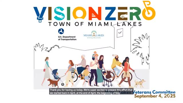
Summary
Consultant eXp presented a Safe Streets for All grant-funded Vision Zero safety-action plan, showing crash patterns, hotspots (including a heavily concentrated corridor) and a public dashboard and survey for resident input.
A consultant hired by the town presented a Vision Zero safety-action plan and initial crash analysis to the Miami Lakes Veterans Committee, describing data-driven countermeasures and public-engagement tools the town will use under a federal Safe Streets for All grant.
Why it matters: The presentation identified recurring crash locations and trends in Miami Lakes, introduced a public dashboard and a bilingual survey for resident input, and outlined how proposed safety projects will be tracked once implemented.
Summary of presentation Consultant representative (identified in the meeting as Mr. Fuentes of eXp) said the town received a federal Safe Streets for All grant in 2023 to develop a safety-action plan aiming to reduce fatalities and severe injuries. The consultants analyzed crash data from 2016 through 2024 using Florida Department of Transportation records, removed crashes occurring on major regional highways (the Palmetto, I‑75 and I‑95/other arterials noted in the presentation) to focus on local patterns, and identified about 783 crashes in the study period as the working dataset.
The presentation highlighted three local corridors with concentrated crash activity: (transcript labels) "50 Seventh Avenue," "150 Fourth," and "Lotland" (spelling and road names as spoken in the meeting). The consultant showed a heat map with one corridor described as having the largest concentration of crashes (the presenter identified it verbally as a DOT road with higher volumes and speeds). The consultant also said rear-end, sideswipe and left-turn collisions were the most frequent crash types in the dataset.
Public engagement and tools - The consultants launched a public dashboard and a map for comment; the presenter asked attendees to scan a QR code shown during the presentation to view data and submit location-based comments. - A bilingual (English/Spanish) public survey is available and has been distributed in outreach; hard-copy surveys are being collected at in-person events. - The consultant invited committee members to share the QR codes, public dashboard and survey with neighbors and community groups to increase resident input.
Questions and follow-ups Committee members asked whether the analysis had overlaid pedestrian-heavy areas and residential “cut-through” streets. The consultant said those overlays were performed and correlated against crashes, lighting, sidewalk and bicycle infrastructure; he offered to share those specific analyses with the committee and noted the team had identified several pedestrian and bicycle incidents among the severe crashes.
Town staff participation Justin (identified in the meeting as a representative of the town transportation department) and Susana (town representative) were present; Justin confirmed the town and consultant will be available for one-on-one follow-ups and that the consultant team will continue public outreach at upcoming town events (the consultant referenced a car show and family event as outreach opportunities).
Timeline The consultant said the contract with the town council was recently accepted and the project is underway; he estimated the work will continue into 2026 and agreed to confirm the exact project schedule with town staff.
Quotes "Vision 0 is an initiative that looks to reduce fatalities and severe injuries," the consultant said, describing the safe-system approach. "We have gathered a lot of comments as well. So we would like you to scan this QR code and provide comments as well," the consultant said while pointing listeners to the public dashboard and bilingual survey.
Ending Town staff asked the consultants to provide the detailed overlays of pedestrian volumes and local walking corridors; the consultants said they will share that material and follow up with staff to coordinate further outreach and technical briefings.