Get Full Government Meeting Transcripts, Videos, & Alerts Forever!
Get email alerts on the Wetlands Delineation And Hydrology topic
No spam. Unsubscribe anytime.
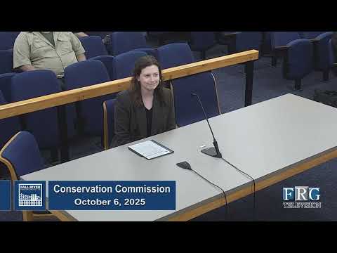
Commission presses developer for survey and invert elevation to resolve wetlands tie at 0 Birch Street and 1205 Bay Street
Summary
Commission members said they need the invert elevation and survey documentation for a 30-inch culvert tied to an apparent subsurface stream before issuing an Abbreviated Notice of Resource Area Delineation (ANRAD); the applicant was asked to file an RDA for limited clearing to permit further survey work and the item was tabled.
John Nero, a professional wetland scientist with Beta Group, presented an ANRAD for properties identified as 0 Birch Street and 1205 Bay Street and described a complex wetland and stream system on the parcels. Nero and his team reported a surface stream that appears to disappear into a large (described in records as 30-inch) steel inlet; field checks to date have not confirmed where the stream reappears, or whether it ties into the city’s combined sewer or other municipal infrastructure.
Commission staff and members pressed the applicant to locate the culvert terminus and provide the invert elevation of the exposed end before accepting the ANRAD. Staff recommended the commission not grant the ORAD until the requested information is provided. Nero said further field work would be difficult without additional clearing or access; he proposed filing a concurrent Request for Determination of Applicability (RDA) to allow limited clearing to permit survey crews to reach the inlet and take measurements.
Commission members and technical attendees discussed possible approaches: opening nearby manholes to trace the pipe, running a camera or dye test, or obtaining survey control leveraging municipal plan data. Multiple parties noted limited physical access because of vegetation and a transient encampment on the rail corridor and discussed the need for landowner permission for access across utility-owned land (Liberty and the railroad). The commission asked the applicant to: locate and report the invert elevation of the 30-inch inlet; stake any record manhole in the southwest corner shown on DPW plans; and, if needed, file a focused RDA to allow limited clearing to permit survey work. The item was tabled to allow the applicant to provide those items.
The commission emphasized that confirmation of the culvert connection and invert elevation is “mission-critical” to avoid downstream surprises during future development and that the ANRAD should not be finalized until the connection is clarified.