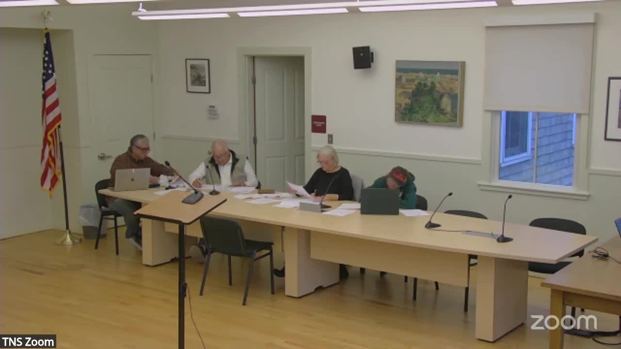
Commission to call special meeting after concerns about wetlands mapping, access on Blansfield/Glance Field DEM notice
Get AI-powered insights, summaries, and transcripts
Subscribe
Summary
Commissioners said they could not comment to DEM by the Nov. 17 deadline without applicants and clearer wetland-flagging maps; they agreed to schedule a special meeting and request the applicants attend and provide clarifying materials.
At the Oct. 14 meeting the New Shoreham Conservation Commission reviewed a DEM notice for an application (DEM Management Office of Water Resources #22-0340) filed for Assessor's Plat 3, Lot 136 by Blansfield Realty Holdings LLC seeking permission to alter freshwater wetlands.
Commissioners said the map packet in the DEM notice did not clearly identify where wetlands disturbance would occur, making it difficult to draft an informed comment before the DEM comment deadline of Nov. 17 at 4 p.m. Commissioner Christopher Blaine and others reported driving the site and said they did not see standard field flagging showing wetland boundaries. Blaine and other members described the area as seasonally very wet, referencing major flooding in February 2010 when water overtopped Mansion Road.
Commissioners raised additional concerns including unclear access (whether a right-of-way exists or if access would cross neighboring properties), multiple proposed buildings on the lot (single-family dwelling, accessory building larger than the dwelling, and an accessory apartment) and the absence of a DEM biologist report in the submitted packet. Several commissioners said publicly available documents indicate a history of neighbor disputes and legal exchanges associated with the project.
Because key parties, engineers and homeowners were not present at the Oct. 14 meeting — in part because ferry service prevented travel for several participants — commissioners agreed they could not responsibly send a positive or negative comment to DEM without hearing from applicants and consultants in person. The commission decided to schedule a special meeting (to be arranged by staff via e-mail) and to invite the applicants, the project's engineers and any third-party biologists to attend and clarify the wetlands flags, access, and the proposed building footprint. Commissioners asked staff to pose specific questions to the applicant in advance, including whether wetlands had been flagged on-site and whether the project could be reduced to avoid wetlands encroachment.
Commissioners also agreed to consider adding the Bayberry Hill item to the special meeting so both matters could be addressed in a timely way before DEM's deadline. Staff said they would contact the applicants and arrange the meeting date by e-mail.
No formal advisory comment was submitted to DEM at the Oct. 14 meeting; the commission’s direction was procedural: schedule a special meeting, request that applicants attend with detailed maps and wetlands-flagging evidence, and prepare questions for DEM comments.
