Planning Commission approves two-lot subdivision at 1560 Church Street
Get AI-powered insights, summaries, and transcripts
Subscribe
Summary
The Redlands Planning Commission voted to approve Tentative Parcel Map No. 21019 to split a 36,097-square-foot lot at 1560 Church Street into two residential parcels; staff said the proposal meets zoning standards and is exempt from environmental review for minor land divisions.
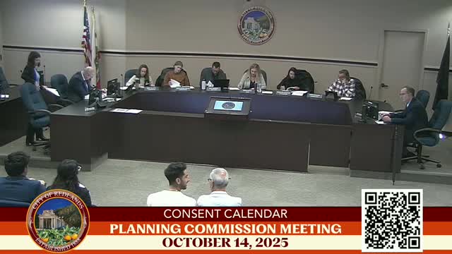
The Redlands Planning Commission on Oct. 14 adopted a resolution approving Tentative Parcel Map No. 21019 to subdivide an existing 36,097-square-foot residential parcel at 1560 Church Street into two lots for single-family development.
Staff planner Jasmine Serrato told the commission the site is in the low-density residential land-use designation and the single-family Residential R-1 district and that the subdivision "demonstrates compliance with the underlying zoning development standards and will be able to accommodate future development." Serrato said Parcel 1 would measure about 18,041 gross square feet and Parcel 2 about 18,056 gross square feet.
Serrato also said staff found the project qualifies for a categorical exemption from environmental review under the city's provisions for minor land divisions and recommended adoption of Resolution No. 17-26 to approve the parcel map and the associated socioeconomic cost-benefit study.
No members of the public spoke during the required public hearing on the tentative parcel map. After brief commission deliberations, Commissioner Stanson moved to adopt the resolution; Commissioner Gonzales seconded. The motion carried and the commission approved the tentative parcel map and related socioeconomic study.
The approval allows the division of the existing lot; any subsequent construction of a new primary home or accessory dwelling unit on Parcel 2 would require separate permitting under the city's project review and building permit processes, Serrato noted.
Planning staff materials accompanying the item include the full findings required for a tentative parcel map and the socioeconomic analysis referenced in the staff report.
