Staples residents urge Guadalupe County to remove FM 621 widening from major thoroughfare plan
Get AI-powered insights, summaries, and transcripts
Subscribe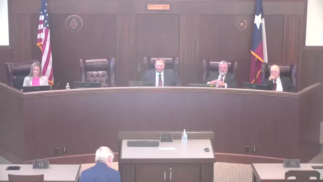
Summary
Residents of Staples and other unincorporated areas pressed Guadalupe County commissioners on Oct. 14 to remove or substantially alter a proposed conversion of FM 621 into a major thoroughfare, saying the change would take homes and community buildings and would not be the best route for regional traffic.
Residents of Staples and other unincorporated areas pressed Guadalupe County commissioners on Oct. 14 to remove or substantially alter a proposed conversion of FM 621 into a major thoroughfare, saying the change would take homes and community buildings and would not be the best route for regional traffic.
Miles Muller, a City of Staples council member and former head of the city planning and zoning commission, told commissioners "Currently, the pavement width of 621 in Staples is about 30 feet. Turning it into a thoroughfare would make it about 120 feet right of way." He said that the park entrance is about "10 feet from the current pavement of 621," and stressed that widening would put children and residents at immediate risk and eliminate much of downtown Staples.
Mayor Ronnie Clark said the preliminary county alignment would affect "103 properties in the city limits, including the 100 year old Staples Baptist Church, a 123 year old United Methodist Church, our fire department, our City Hall building, and over 50 houses." Clark and other speakers urged commissioners to consider alternatives that avoid the downtown area and to favor routes through undeveloped farmland.
Carol Westwood, who said she helped lead Staples' incorporation, described the town as "a living testament to Texas grit" and urged the court to respect the town's history and the results of the incorporation vote: "Please know that the reason we incorporated largely was the last thoroughfare plan where people mapped over the top of us just with complete disregard." Alexander Broussard, a Staples resident and emergency responder, said the town has a "rich history" and asked planners to "explore alternatives that protect and preserve the integrity of our town while still supporting regional growth and infrastructure needs."
Other residents raised practical and legal concerns about proposed alignments. Millie Watson, a Laguna Vista resident, said the route shown on the county map appears to duplicate a city plan that the City of Seguin had already removed from its transportation master plan; she asked the county to coordinate with Seguin and to remove the alignment where appropriate. Property owners in Bluestem Reserve and on Branch Road said deed restrictions and conservation-oriented ownership make new road connections unlikely or unnecessary.
County staff provided metrics on outreach and the next steps. "We had 424 attendees" at the Sept. 23 community engagement event, and staff said 555 outreach e-mails were sent, 62 visitors reviewed maps at the development center, and 193 public comments had been registered by Oct. 7. County staff said the formal comment portal would remain open through 11:59 p.m. on Oct. 23; comments received through that cut-off would be compiled, grouped by topic, and returned to the court and contractor for revision of the map. The contractor and county staff plan to rework alignments and then return a revised map to the court for additional review.
During discussion the commissioners emphasized the plan is a planning tool—not an immediate construction program—and that master thoroughfare maps are periodically revised. Several commissioners said the map should favor existing rights-of-way where possible, and that county staff should coordinate with cities and TxDOT before finalizing alignments. Commissioners discussed scheduling additional outreach: the court set a next discussion date of Nov. 4 to review compiled comments and asked staff to target a formal adoption vote later in December, with commissioners noting that holiday schedules make the December target ambitious.
Speakers repeatedly asked for clearer legends and comparative data on existing road widths versus proposed ultimate right-of-way widths. Commissioner Ott said county GIS and road-and-bridge staff have been assembling baseline road-width data and that she will host precinct-level listening sessions and mailers to ensure residents with limited internet access can review maps and ask questions.
Residents asked the court to consider alternatives that minimize property takings, preserve historic sites and churches in Staples, and route a regional connector through undeveloped land where feasible. The court did not vote on any adoption of the plan on Oct. 14; commissioners directed staff to compile comments, coordinate with affected municipalities, and return revised options for court review.
ACTIONS AND NEXT STEPS: The court directed staff to accept and compile public comments through Oct. 23, deliver a consolidated comment package to the contractor, provide revised map options to commissioners, and hold a follow-up court discussion on Nov. 4; court members said they will seek final action on a plan in a future court session with a working target of mid-December, subject to scheduling and holidays.
Community members seeking to review the map or submit comments were told by staff to use the county's online portal or visit the development center in person; staff also said they will accept emailed input for consolidation prior to the Oct. 23 portal deadline.