Commission urges Farmstead Landing remain accessible; recommends 75-foot Linder buffer and public pathways
Get AI-powered insights, summaries, and transcripts
Subscribe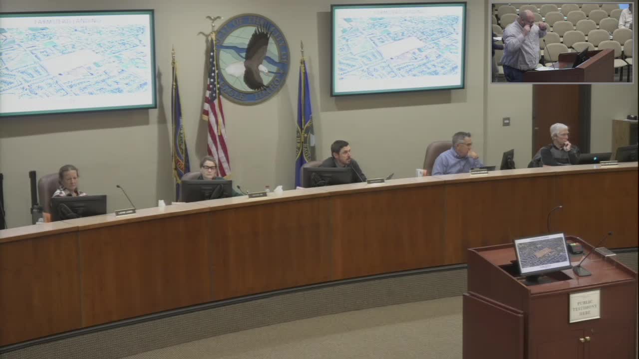
Summary
The Parks, Pathways and Recreation Commission recommended approval of the Farmstead Landing modification with staff conditions but expressed a strong preference for publicly accessible sidewalks and pathways, including at the northern emergency access, and urged a 75-foot buffer along Linder Road to match the adjacent subdivision.
The Parks, Pathways and Recreation Commission on Oct. 16 considered a development agreement and preliminary plat modification for Farmstead Landing, a residential project proposed by Boise Hunter Homes, and forwarded a recommendation that largely accepts staff conditions while urging greater public access and a wider landscape buffer along Linder Road.
Todd Tucker, representing Boise Hunter Homes, described the proposed changes as adjustments to a previously approved plan. Proposed changes include reducing the Linder Road landscape buffer from 75 feet to 50 feet (to match nearby approvals), increasing lot depths for several lots (Tucker said the developer planned to add about 20 feet to the rear of lots bordering ponds), modestly reconfiguring pond shapes to reduce maintenance concerns, and making the subdivision a gated community with private streets. Tucker said the applicant purchased the property two years ago and that the revised layout will support higher-end home products.
Staff and several commissioners focused on pedestrian connectivity and public access. Planning and zoning staff member Caitlin Davidson reminded the commission that the staff-recommended conditions of approval include language requiring sidewalks be within public access easements. The applicant said the ownership team prefers to keep internal sidewalks and pathways private for residents but acknowledged there is a recommended condition that those walkways be public access. The applicant also said the northern stub street would remain a paved hammerhead designed for emergency-vehicle access with bollards keyed to fire department standards.
Davidson told the commission the proposal is 7% less open space than the previously approved plan because of pond and lot adjustments. Commissioners questioned whether a reduced Linder buffer would create a pedestrian-safety issue and whether public access at the north emergency connection should be required. The applicant and staff said the developer had first-right-of-refusal on adjacent properties to the south and that future development could provide a through connection if assembled.
Commissioners discussed the appropriate balance of private amenities and public connectivity. Some commissioners urged that the internal sidewalks and pathways, and at minimum a pedestrian and vehicular connection at the northern stub, be publicly accessible to ensure continuity of the city’s network of pathways. Commissioner testimony also noted neighborhood input from an earlier hearing: Tucker said the previous developer had support for gating at a particular connection point, and the applicant presented that earlier letter of support from the adjacent neighborhood as historical context.
After discussion, the commission made a motion recommending acceptance of staff’s conditions, with a strong preference that internal sidewalks, pathways and vehicular roads be publicly accessible (including access at the northern emergency access point at a minimum), and urging that the landscape buffer along Linder Road be 75 feet to align with the existing subdivision to the north. The commission voted in favor; the motion carried by voice vote. The record shows the commission’s report and recommendations will be included in the Planning and Zoning packet for consideration by that body and City Council.
Staff flagged a technical discrepancy in prior documents: the applicant said the original approved preliminary plat contains 141 lots while the staff report lists 140; the applicant attributed that to a typographical error and affirmed they are proposing 141 lots.
Davidson and the applicant noted that any work in the southern portions of the site that occur in the floodway will need to meet Title 10 (floodplain) requirements, including no-rise certifications and engineering that ensures no adverse flood impacts.
The commission’s recommendation does not itself change the development agreement; it will be considered by Planning and Zoning and City Council under the usual review process.