Arapahoe County planning commission reviews floodplain rules, mapping and development limits
Get AI-powered insights, summaries, and transcripts
Subscribe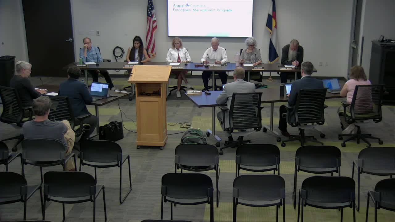
Summary
County engineering staff briefed the Arapahoe County Planning Commission on local floodplain management, FEMA maps and how the county reviews proposed development in or near the 100‑year floodplain. No formal actions were taken.
Arapahoe County engineering staff on Sept. 2 briefed the Arapahoe County Planning Commission on the county's floodplain management program, including how FEMA flood maps are used in land‑development reviews and what types of development are allowed inside the 100‑year floodplain.
At the meeting, Sila Rethamel, Engineering Services Division manager, told commissioners that "we review and approve flood plain activities and we also permit and inspect those," and that the county's program is intended "to protect our residents from flood events and make sure that they have clean storm water runoff." Rethamel outlined the federal and regional programs that shape local rules, such as the National Flood Insurance Program and the county's participation in FEMA mapping and mitigation efforts.
Rethamel reviewed key technical concepts the county applies in reviews: the 100‑year floodplain (an area with a 1% annual chance of flooding), the floodway and the flood fringe. She said the county's standard for most projects is the 100‑year event and noted that designing to larger events (for example the 500‑year event) is often cost prohibitive. Rethamel also explained the FEMA process for changing a mapped floodplain: a conditional Letter of Map Revision followed by a Letter of Map Revision if FEMA approves the change.
County staff said the development review focuses on a few consistent checks: whether a site contains mapped floodplain; whether new structures would be placed inside the floodplain; the finished floor or basement elevation of proposed buildings; and whether a floodplain easement is required. Rethamel told commissioners that the county does not permit new structures in the mapped 100‑year floodplain and that, when a structure is placed outside the mapped floodplain, the county often requires the finished floor or entry level to be elevated 2 feet above the base flood elevation.
Sue Lee, an engineer in Engineering Services, said some recreational improvements such as trails are commonly permitted in the floodplain. "Yes, we do allow trails to be built within the 100‑year floodplain," Lee said, adding that the county evaluates each trail design and may require hydraulic analysis or other mitigations if grading or other work would alter flow paths. By contrast, features that behave like barriers in high flow ' for example fences that collect debris ' can increase velocity or cause upstream impacts and are treated more restrictively.
The county's review also considers cumulative impacts from multiple encroachments into the flood fringe. Staff said the county has an internal threshold to limit the cumulative rise in flood elevation caused by allowable encroachments; Rethamel said the county generally aims to keep any allowed increase to half a foot or less, and to avoid changes that would increase erosion or harm downstream properties.
Staff discussed regional coordination with the Mile High Flood District (formerly the Urban Drainage and Flood Control District) and the Colorado Water Conservation Board. Rethamel said Mile High runs a five‑year planning program that helps local jurisdictions prioritize hydraulic studies and regional drainage improvements. Engineering staff also described how master drainage plans, detention basins and development fees are used to manage increased impervious surface and coordinate multiple adjacent developments.
Commissioners asked about triggers for new studies and how the county monitors the aggregate effect of multiple projects. Staff replied that master drainage plans and coordination with Mile High Flood District are the primary mechanisms; some larger projects also submit basin‑level hydrology studies or revise flood delineations that can lead to map updates. Staff gave the Aurora Gun Club as an example of an existing site that lies largely within mapped floodplain and must be handled case‑by‑case.
No formal actions or votes were taken during the study session. Staff said they are available to answer site‑specific questions during land‑use review and that updates to federal mitigation programs (including potential changes at FEMA) could affect how local mitigation and grant programs operate in the future.