Get Full Government Meeting Transcripts, Videos, & Alerts Forever!
City staff present corrections to Perryman Ditch drainage maps; 29 structures removed from regulatory floodplain
Summary
City staff asked the Public Works Committee to adopt corrected Perryman Ditch drainage and floodplain map panels, saying refined modeling removed some areas below the city’s 40-acre mapping threshold.
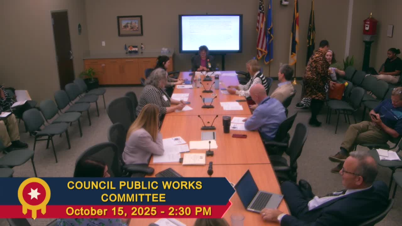
City staff told the Public Works Committee they are asking the council to adopt corrected map panels for the Perryman Ditch master drainage plan and the City of Tulsa regulatory floodplain and drainage-sensitive areas atlas.
Joan Gosvick of the city’s Water and Sewer Department said the master drainage plan and more precise hydraulic modeling identified parts of the mapped area that drain less than the 40-acre threshold the city uses when mapping regulatory floodplain. “They’re removed because the area that drains to them is less than 40 acres. So they will no longer be part of the drainage sensitive area,”…
Already have an account? Log in
Subscribe to keep reading
Unlock the rest of this article — and every article on Citizen Portal.
- Unlimited articles
- AI-powered breakdowns of topics, speakers, decisions, and budgets
- Instant alerts when your location has a new meeting
- Follow topics and more locations
- 1,000 AI Insights / month, plus AI Chat