Get Full Government Meeting Transcripts, Videos, & Alerts Forever!
Get email alerts on the Interpretive Signage topic
No spam. Unsubscribe anytime.
Southborough Trails Committee moves forward on reservoir interpretive signage, plans web hub and timeline
Summary
The Town of Southborough Trails Committee reviewed historical resources and imagery for interpretive signs at the Southborough Reservoir trail, confirmed outreach to the Massachusetts Department of Conservation and Recreation, and set a production timeline aimed at installation before Dec. 30.
The Town of Southborough Trails Committee on Oct. 7 advanced plans for interpretive signage and a companion web page for the Southborough Reservoir trail, after reviewing historical material from a local researcher and arranging follow-up with the Massachusetts Department of Conservation and Recreation.
A Trails Committee member reported that Michael Wyshen shared a historical packet the committee can potentially use with permission, and that the member had reached out to Andy Leahy, a DCR ranger. The member said DCR has an Indigenous Peoples partnership coordinator and that the committee will meet with that coordinator the following day to discuss sources about Native peoples to include on signage and the committee’s web hub.
Committee members discussed keeping on-post sign copy short and using QR codes to direct hikers to a committee-hosted web page containing more extensive material and links. Members said they want to avoid “recreating the wheel” by republishing long narratives on signs and prefer to centralize external resources on a town page that the committee can update.
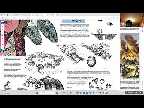
The group reviewed plans to use timeline graphics to show major eras—Nipmuc presence, colonial settlement, village founding, and the building of the reservoir and dam—and examined historical photographs obtained from the Massachusetts Digital Archives and other public sources. The committee discussed representing human stories (for example, families affected by eminent domain and the laborers who constructed the dam) while noting the project must balance brevity on signs with richer online context.
Staff and volunteers were asked to assemble a storyboard and select candidate images for panels. The committee noted practical next steps: Melanie is preparing a bid package; Carla from accounting contacted the committee to confirm fiscal timing; and the Trails Committee member leading the project said they would circulate editable drafts of sign copy and the image packet by email for committee review. The member said the production and installation timeline targets completion before Dec. 30, and the committee agreed to aim for a follow-up meeting the week of Oct. 20–24 to finalize materials if schedules allow.
The meeting concluded with a routine motion to adjourn at 8:19 p.m.; the motion carried with recorded affirmative votes by Satyendra Sharma, Will Warren, Tom McCoolier, and Kevin Key.
Notes: Committee members emphasized sensitivity in labeling historical material (community members suggested using “native peoples” rather than “Native American” in some contexts), the need to secure permissions for third-party content, and that certain historical details (for example, specific family relocation stories tied to eminent domain) remain to be researched or confirmed before inclusion.