Get Full Government Meeting Transcripts, Videos, & Alerts Forever!
Lake County GIS team wins three awards at Ohio GIS conference
5965692 · September 18, 2025
AI-Generated Content: All content on this page was generated by AI to highlight key points from the meeting. For complete details and context, we recommend watching the full video. so we can fix them.
Summary
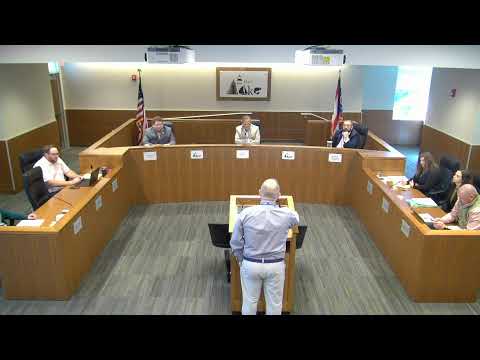
Lake County's GIS staff won three statewide awards at the Ohio GIS engineers conference in Columbus for land-use mapping, an educational personal project and an interactive Western Reserve story map.
County officials announced that Lake County’s geographic information systems (GIS) team won three awards at the Ohio GIS engineers conference in Columbus earlier this week.
The recognition included: Lake County land-use mapping led by GIS director Caroline Peterson…
Already have an account? Log in
Subscribe to keep reading
Unlock the rest of this article — and every article on Citizen Portal.
- Unlimited articles
- AI-powered breakdowns of topics, speakers, decisions, and budgets
- Instant alerts when your location has a new meeting
- Follow topics and more locations
- 1,000 AI Insights / month, plus AI Chat
30-day money-back on paid plans