Get Full Government Meeting Transcripts, Videos, & Alerts Forever!
Get email alerts on the Transportation Infrastructure topic
No spam. Unsubscribe anytime.
Council authorizes $67,563 change order for South Street/Seventh Street design; adds LIDAR for bike path easements
Summary
Geneva approved a change order to add a topographic LIDAR survey to the South Street and South Seventh Street project design, increasing a WVK Engineering contract by $67,563; councilors were told IDOT-approved overhead rates applied because federal funds are involved.
The City Council approved Resolution 2025-116 to authorize Change Order No. 1 with WVK Engineering, adding $67,563 to the contract for South Street and Seventh Street improvements to fund a topographic survey using LIDAR data.
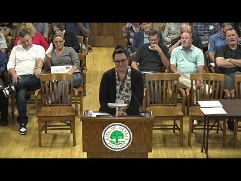
City staff said the project initially planned to use existing GIS data but needs higher-resolution LIDAR to capture right-of-way and easement details for a planned bike path. Director of Public Works Rich Babica and a WVK representative, Greg Tismarck, explained the change during a staff presentation.
Tismarck told the council the overhead figure on the IDOT budget sheet — a 160% overhead rate that drew a question from Alderman Reineke — was an IDOT-approved consultant overhead rate. He explained that because the project will use federal money and must follow IDOT standards and specifications, the higher overhead figure is standard in that contract context.
The council approved Resolution 2025-116 by roll call vote with 10 affirmative votes, 0 nay votes and 0 council members absent.
Why it matters: LIDAR is intended to produce a more accurate picture of the corridor to accommodate the bike path and additional easement needs. Using IDOT protocols is required where federal funding is involved and influences contract budgeting and overhead calculations.
Ending: Project design will proceed with the LIDAR data and the amended contract. Staff said final design will account for the additional easement needs identified by the higher-resolution data.