Get Full Government Meeting Transcripts, Videos, & Alerts Forever!
South Pasadena fire chief outlines state hazard maps, defensible-space rules and timeline for adoption
Summary
Fire Chief Greg Lloyd presented state-mandated fire hazard severity zone maps, explained the difference between hazard and risk mapping, described draft defensible-space requirements tied to AB 3074 and the California government-code process, and said the city will seek adoption by ordinance at a second reading Oct. 1.
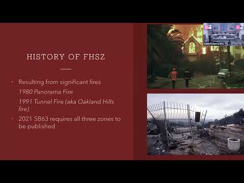
Fire Chief Greg Lloyd told the Natural Resources and Environmental Commission on Sept. 23 that the city has reviewed state wildfire hazard mapping and plans to adopt a local map by ordinance at a second reading Oct. 1 to comply with state law. “These are called hazard maps, and they’re not risk maps,” Lloyd said, explaining the maps show physical conditions that create a fire hazard over 30 to 50 years rather than insurer risk assessments.
Lloyd said South Pasadena falls entirely within a local responsibility area and described how the state map process treated the city as “non-wildland” because it has no 200 contiguous acres of fuels. That placed parts of the city on an ember-cast map rather than through the state’s full fuel–slope–weather formula, producing results Lloyd and staff found incomplete for the Monterey Hills. He said the city used its existing municipal code designation for…
Already have an account? Log in
Subscribe to keep reading
Unlock the rest of this article — and every article on Citizen Portal.
- Unlimited articles
- AI-powered breakdowns of topics, speakers, decisions, and budgets
- Instant alerts when your location has a new meeting
- Follow topics and more locations
- 1,000 AI Insights / month, plus AI Chat