Planning board backs convenience store rezoning with conditions to preserve future connectivity
Get AI-powered insights, summaries, and transcripts
Subscribe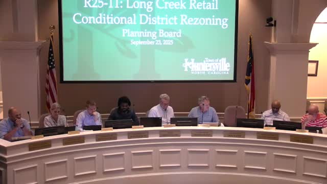
Summary
Planning board members on Sept. 23 recommended approval of a conditional rezoning for RU-25-11 (Lehi Creek Retail), a proposed convenience store and fuel/convenience development at the Mount Holly–Huntersville Road and Beatty’s Ford Road corner, with conditions addressing sidewalk completion, retaining-wall modification and future connectivity.
Planning board members on Sept. 23 recommended approval of a conditional rezoning for RU-25-11 (Lehi Creek Retail), a proposed convenience store and fuel/convenience development at the Mount Holly–Huntersville Road and Beatty’s Ford Road corner, with conditions addressing sidewalk completion, retaining-wall modification and future connectivity. The board said the site fits the town’s LU 5.1 land-use policy and that the project provides transportation and commercial benefits for the area.
The recommendation matters because the parcel has steep grades and a history of related approvals dating to 2008, and the board’s conditions aim to prevent the new project from precluding development of the adjoining parcel to the north. Staff had recommended against the rezoning as submitted because the plan would reduce required buffers and create grading/connection challenges for the parcel to the north.
Board members and staff described a difficult topography on the northern portion of the lot, where a 35-foot slope and a proposed retaining wall will affect the ability of a future road connection to the parcel north. Staff said that keeping a public street stub to the north was important to preserve the developability of the adjacent parcel and to support the 2040 plan’s goal of an urban village and connected street network. The applicant said engineers had modeled grades and that the current plan is constrained because the adjoining owner to the north (the Houston property) will not permit grading on their land; the developer offered to record a cross-access easement and a commitment to remove the retaining wall when the north parcel develops.
Public commenters raised concerns about ordinance compliance for a separate hotel item on the agenda (see separate article on the Hilton proposal) and about impacts when projects reduce buffers and alter grade. The applicant’s team — including developer Jeff Mafly, civil engineer Brian Upton and project consultant Joe Sailors — described prior design work that modeled a future connection and said the proposed design preserves buildable area while offering to deed an access easement to the north and to bond the remaining sidewalk until the neighboring parcel completes its grading.
Traffic and operations details provided at the meeting: the developer’s traffic consultant, Patrick Montero, said the southbound left-turn storage on Mount Holly–Huntersville Road to access the site is about 225 feet in the design (existing storage roughly 125 feet) and that a 300-foot right-turn lane is included. The left-turn lane was described as required by NCDOT for a left access into the site.
After discussion, the planning board moved to recommend approval of RU-25-11 with explicit conditions including: a binding agreement to guarantee future modification to grade and retaining wall upon development of the parcel to the north to ensure connectivity; bonding the remainder of the sidewalk until the adjoining parcel develops; and other modifications shown in the staff report. The motion as presented said the rezoning is “reasonable and in the public interest” because it aligns with LU 5.1 of the 2040 plan and provides services and transportation improvements for the community. The board voted unanimously to recommend approval to the town commissioners.
The developer said he will record cross-access easements and is open to working with staff on final grading and sidewalk details. Staff and the board emphasized that the applicant must provide the final engineering and grading plans that demonstrate the stub connection is feasible or document the easement/removal arrangement that will preserve future connectivity. The formal rezoning will next be considered by the town board; any required construction permits must include final construction-level grading and erosion-control plans.