Get Full Government Meeting Transcripts, Videos, & Alerts Forever!
South Pasadena staff maps wildfire "hazard" zones; Monterey Hills largely kept at high severity
Summary
City staff presented updated fire hazard severity maps that adopt the state’s March 24, 2025 map with local adjustments, keep portions of the Monterey Hills in a high severity zone, and outline outreach and ordinance timing ahead of council readings.
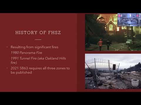
Fire Chief Greg Lloyd updated the Public Safety Commission Tuesday on state-designated fire hazard severity zones and the city’s plan to adopt a local map that incorporates the state map released March 24, 2025. He said the city will present an ordinance to City Council for first reading on Sept. 17 and for a second reading and adoption in October. The change follows state mapping under Senate Bill 63 and definitions used by CAL FIRE and the State Fire Marshal. "It’s important to know that this is a hazard map and not a risk map," Chief Lloyd said, adding that hazard maps describe physical conditions without accounting for individual property mitigation. The update matters because state regulations and local ordinance language will affect new construction and, for the highest-severity areas, set timelines for existing properties. Chief Lloyd said new construction in designated very high fire hazard severity zones must meet…
Already have an account? Log in
Subscribe to keep reading
Unlock the rest of this article — and every article on Citizen Portal.
- Unlimited articles
- AI-powered breakdowns of topics, speakers, decisions, and budgets
- Instant alerts when your location has a new meeting
- Follow topics and more locations
- 1,000 AI Insights / month, plus AI Chat