Get Full Government Meeting Transcripts, Videos, & Alerts Forever!
Get email alerts on the Wildfire Mitigation topic
No spam. Unsubscribe anytime.
South Pasadena staff maps wildfire "hazard" zones; Monterey Hills largely kept at high severity
Summary
City staff presented updated fire hazard severity maps that adopt the state’s March 24, 2025 map with local adjustments, keep portions of the Monterey Hills in a high severity zone, and outline outreach and ordinance timing ahead of council readings.
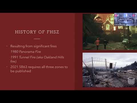
Fire Chief Greg Lloyd updated the Public Safety Commission Tuesday on state-designated fire hazard severity zones and the city’s plan to adopt a local map that incorporates the state map released March 24, 2025. He said the city will present an ordinance to City Council for first reading on Sept. 17 and for a second reading and adoption in October. The change follows state mapping under Senate Bill 63 and definitions used by CAL FIRE and the State Fire Marshal. "It’s important to know that this is a hazard map and not a risk map," Chief Lloyd said, adding that hazard maps describe physical conditions without accounting for individual property mitigation. The update matters because state regulations and local ordinance language will affect new construction and, for the highest-severity areas, set timelines for existing properties. Chief Lloyd said new construction in designated very high fire hazard severity zones must meet wildfire-resistant materials standards in Chapter 7A of the California Building Code beginning Jan. 1, 2026, and that existing properties in very high zones will need to comply by Jan. 1, 2029. He noted that the state’s AB 3074 will influence defensible-space requirements and that details of the law’s 0–5 foot provisions remain under debate at the state level. Chief Lloyd described the city’s approach to the state map: because South Pasadena does not contain 200 contiguous acres of wildland fuels, the state applied an ember-cast model and assigned some western edges of the Monterey Hills to "very high." The city’s staff revised the map by snapping zone lines to property lines and streets, and by retaining the local designation of portions of the Monterey Hills as "high" under Ordinance 23-68. "Those 122 acres [of fuel beds] were not accounted for in the State Fire Marshal’s hazard severity zone map," Lloyd said, referencing city analysis of 660 total Monterey Hills acres and 122 acres identified as fuel beds. How the requirements will affect homeowners was a central theme of commissioners’ questions. Commissioner G asked who would bear the cost of retrofits; Chief Lloyd said, "The property owner is responsible for the maintenance of their private property as it is now," adding that staff will return to Council with funding and program ideas and will look at available wildfire-protection and hazard-mitigation grants. Lloyd cautioned that some grants (for example HMGP) may have long lead times and are typically one-time funds, and that long-term maintenance is a recurring concern. Commissioners also questioned enforcement, access and the protective value of defensible space. Lloyd said enforcement would start with notices and a compliance process that could include abatement on vacant properties; enforcement on occupied properties raises additional legal and Fourth Amendment considerations. He told commissioners that reduced fuel continuity and appropriate defensible space buy firefighters time and act as a force multiplier: "It buys us time to be able to get out in front of it…if they have the defensible space and they have the fire-resistive construction, we can just monitor that house and then we can devote resources." Staff described community outreach plans ahead of the council reading: two neighborhood meetings (Sept. 4 at Monterey Hills Elementary School and Sept. 9 at Arroyo Vista Elementary School), door hangers to impacted properties with a QR code linking to the map, attendance at PTA and farmers-market events, and direct mail to residents in high and very-high zones. This presentation was informational; no ordinance vote occurred at the commission meeting. Staff described the map changes and outreach plan and asked commissioners to relay community feedback ahead of the Sept. 17 council study session.