Get Full Government Meeting Transcripts, Videos, & Alerts Forever!
Get email alerts on the Planning Gis topic
No spam. Unsubscribe anytime.
City interns showcase GIS and housing outreach tools for vacant sites and ADU mapping
Summary
Three community development interns presented GIS‑based tools and outreach materials the department can use to identify underdeveloped parcels, support housing outreach, and visualize accessory dwelling unit (ADU) and collision data for planning and public information.
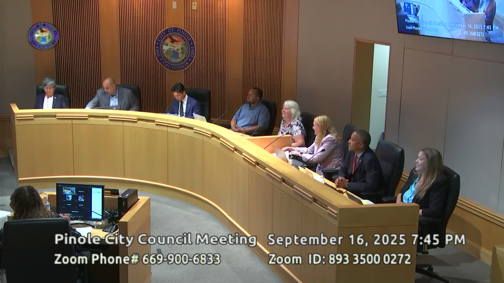
Two community development interns, Shane Zaviza Hollis and Ray Maraliano, presented on Sept. 16 the summer projects they completed for the City of Pinole: a developer outreach toolkit and parcel mapping for vacant or underdeveloped sites; and a set of GIS maps for accessory dwelling units (ADUs), address verification and a traffic‑collision dashboard.
Why it matters: The tools are intended to help the city identify sites for potential housing development, simplify outreach to owners and developers, support permitting, and improve public information about ADUs and safety hotspots.
Shane described an outreach toolkit that includes developer contact sheets, brochures, a Linktree of developer resources, call and email scripts and concise visualizations showing hypothetical site concepts. “I created an outreach toolkit,” Shane told the council, “including concise timelines of the development process to make it more approachable for site owners.” He also demonstrated an interactive parcel map that city staff can filter by zoning, parcel size and neighborhood amenities to spot candidate properties.
Ray demonstrated an address‑verification project that used ArcGIS Survey123 for in‑field confirmation of commercial and multifamily addresses and parcel associations. He also showed an ADU map layer that identifies existing ADUs and ADU‑eligible lots, and a traffic‑collision dashboard that maps collisions, injuries and fatalities by location and year to help planners spot safety hotspots near schools and corridors.
Council members praised the presentations and urged staff to expand the internship program and incorporate the interns’ maps into public‑facing resources. Community development staff said one intern will return in October to present a final report and that some maps will be incorporated into the city website and into the planning department’s tools used for outreach to developers and residents.
What’s next: Staff will consider publishing select interactive maps for public access, incorporate the parcel database into housing outreach, and continue to expand the internship program for mapping and planning support. No council action was required.